Santa Clara de Olimar
Santa Clara de Olimar is a small town in Treinta y Tres Department in eastern Uruguay.
Santa Clara de Olimar | |
|---|---|
Town | |
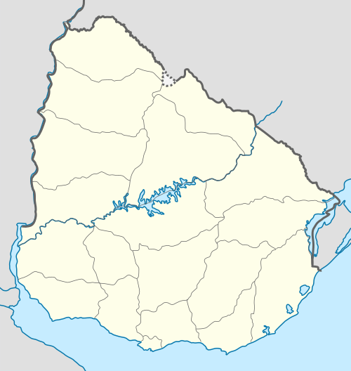 Santa Clara de Olimar Location in Uruguay | |
| Coordinates: 32°55′S 54°57′W | |
| Country | |
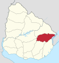
| Department | Treinta y Tres Department |
| Founded | 1878 |
| Elevation | 320 m (1,050 ft) |
| Population (2011) | |
| • Total | 2,341 |
| Time zone | UTC -3 |
| Postal code | 37007 |
| Dial plan | +598 4464 (+4 digits) |
Location
The town is located on the border with Cerro Largo Department, on Km. 282 of Route 7, about 34 kilometres (21 mi) northeast of Cerro Chato and 20 kilometres (12 mi) southwest of Tupambaé.
History
It was founded as "Olimar" by Decree of 7 March 1878. On 12 June 1911, it was declared a "Pueblo" (village) by the Act of Ley Nº 3.776.[1] It was renamed to "Santa Clara de Olimar" and its status was elevated to "Villa" (town) on 21 August 1962 by the Act of Ley Nº 13.083.[2]
Population
In 2011, Santa Clara de Olimar had a population of 2,341.[3]
| Year | Population |
|---|---|
| 1963 | 2,732 |
| 1975 | 2,829 |
| 1985 | 2,423 |
| 1996 | 2,459 |
| 2004 | 2,305 |
| 2011 | 2,341 |
Source: Instituto Nacional de Estadística de Uruguay[1]
Places of worship
- St. Clare of Assisi Parish Church (Roman Catholic)
References
- "Statistics of urban localities (1963–2004) (see also "Olimar")" (PDF). INE. 2012. Retrieved 6 September 2012.
- "Ley Nº 13.083". República Oriental del Uruguay, Poder Legislativo. 1962. Retrieved 6 September 2012.
- "Censos 2011 Cuadros Trenta y Tres". INE. 2012. Archived from the original on 10 October 2012. Retrieved 25 August 2012.
External links
Capital: Treinta y Tres | ||
| Towns and villages |
|  |
| Sights |
| |
This article is issued from Wikipedia. The text is licensed under Creative Commons - Attribution - Sharealike. Additional terms may apply for the media files.