San Vito de Java Airport
San Vito de Java Airport (IATA: TOO, ICAO: MRSV) is an airport serving the town of San Vito in Puntarenas Province, Costa Rica. San Vito is 8 kilometres (5.0 mi) west of the border with Panama.
San Vito de Java Airport | |||||||||||
|---|---|---|---|---|---|---|---|---|---|---|---|
| Summary | |||||||||||
| Airport type | Public | ||||||||||
| Serves | San Vito, Costa Rica | ||||||||||
| Elevation AMSL | 3,228 ft / 984 m | ||||||||||
| Coordinates | 8°49′38″N 82°57′30″W | ||||||||||
| Map | |||||||||||
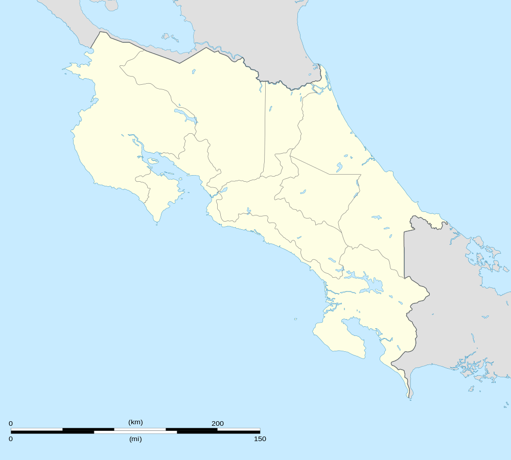 TOO Location in Costa Rica | |||||||||||
| Runways | |||||||||||
| |||||||||||
There is a wide ravine just short of Runway 08, and rising terrain in all quadrants. The Coto 47 non-directional beacon (Ident: COT) is located 13.4 nautical miles (25 km) south of the airport. The David VOR-DME (Ident: DAV) is located 40.7 nautical miles (75 km) southeast of the airport.[4][5]
See also


- Transport in Costa Rica
- List of airports in Costa Rica
References
- Google Maps - San Vito de Java
- Airport information for TOO at Great Circle Mapper.
- "San Vito De Java Airport". SkyVector. Retrieved 22 March 2019.
- "David VOR". Our Airports. Retrieved 22 March 2019.
- "Coto 37 NDB". Our Airports. Retrieved 22 March 2019.
External links
- OurAirports - San Vito
- OpenStreetMap - San Vito
- HERE/Nokia Maps - San Vito
- FallingRain - San Vito de Java
- Accident history for San Vito Airport at Aviation Safety Network
This article is issued from Wikipedia. The text is licensed under Creative Commons - Attribution - Sharealike. Additional terms may apply for the media files.