San Gregorio de Polanco
San Gregorio de Polanco is a small city in the Tacuarembó Department of northern-central Uruguay.
San Gregorio de Polanco | |
|---|---|
City | |
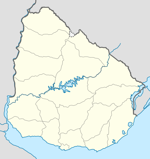 San Gregorio de Polanco Location in Uruguay | |
| Coordinates: 32°37′0″S 55°50′0″W | |
| Country | |
| Department | Tacuarembó Department |
| Founded | 1853 |
| Population (2011 Census) | |
| • Total | 3,415 |
| Time zone | UTC -3 |
| Postal code | 45200 |
| Dial plan | +598 4369 (+4 digits) |
Location
The city is located on a peninsula on the north shore of the artificial lake Lago Rincón del Bonete and along Route 43, about 140 kilometres (87 mi) south of the department capital city of Tacuarembó. Route 43 passes across the lake to Durazno Department by ferryboat.
History
It was founded on 27 November 1853.[1] On 13 October 1963, its status was elevated to "Villa" (town) by the Act of Ley Nº 13.167,[2] and then on 13 December 1994 to "Ciudad" (city) by the Act of Ley Nº 16.666.[3]
In 1945, the artificial lake of Rincon del Bonete hugely changed the landscape of this town, adding a water surface and, later, beaches.[4]
Population
In 2011, San Gregorio de Polanco had a population of 3,415.[5]
| Year | Population |
|---|---|
| 1908 | 6,004 |
| 1963 | 2,489 |
| 1975 | 2,877 |
| 1985 | 2,856 |
| 1996 | 3,101 |
| 2004 | 3,673 |
| 2011 | 3,415 |
Source: Instituto Nacional de Estadística de Uruguay[1]
Places of worship
- Parish Church of Our Lady of Mt. Carmel
References
- "Statistics of urban localities (1908–2004)" (PDF). INE. 2012. Retrieved 6 September 2012.
- "Ley Nº 13.167". República Oriental del Uruguay, Poder Legislativo. 1963. Archived from the original on 16 February 2015. Retrieved 6 September 2012.
- "Ley Nº 16.666". República Oriental del Uruguay, Poder Legislativo. 1994. Archived from the original on 5 March 2016. Retrieved 6 September 2012.
- "Stories of San Gregorio" (in Spanish). Brecha. 14 June 2013.
- "Censos 2011 Cuadros Tacuarembó". INE. 2012. Retrieved 25 August 2012.
External links
Capital: Tacuarembó | ||
| Towns and villages | 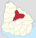 | |
| Sights | ||