San Bautista
San Bautista is a small city in the Canelones Department of southern Uruguay.
San Bautista | |
|---|---|
City & Municipality | |
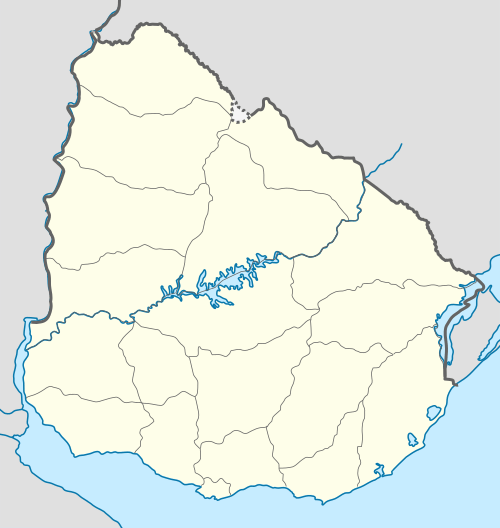 San Bautista Location in Uruguay | |
| Coordinates: 34°26′25″S 55°57′35″W | |
| Country | |
| Department | |
| Population (2011 Census) | |
| • Total | 1,973 |
| Time zone | UTC -3 |
| Postal code | 90604 |
| Dial plan | +598 4313 (+4 digits) |
San Bautista is also the name of the municipality to which the city belongs.
Location
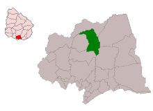
The city is located on the intersection of Route 6 with Route 81, about 60 kilometres (37 mi) north of the centre of Montevideo.
History
According to the Act of Ley Nº 388, on 28 June 1854 it was holding the status of "Villa" (town). On 20 June 1901, it was given the status of "Pueblo" (village) by the Act of Ley Nº 2.699.[1] Its status was elevated to "Ciudad" (city) on 8 June 1993 by the Act of Ley Nº 16.380.[2]
Population
In 2011 San Bautista had a population of 1,973.[3] The Intendencia de Canelones has estimated a population of 4,045 for the municipality.[4]
| Year | Population |
|---|---|
| 1908 | 4,051 |
| 1963 | 1,750 |
| 1975 | 1,454 |
| 1985 | 1,555 |
| 1996 | 1,685 |
| 2004 | 1,880 |
| 2011 | 1,973 |
Source: Instituto Nacional de Estadística de Uruguay[1]
Places of worship
- St. John the Baptist Parish Church (Roman Catholic)
References
- "Statistics of urban localities (1908–2004)" (PDF). INE. 2012. Retrieved 9 September 2012.
- "Ley Nº 16.380". República Oriental del Uruguay, Poder Legislativo. 1993. Archived from the original on 4 March 2016. Retrieved 9 September 2012.
- "Censos 2011 Cuadros Canelones". INE. 2012. Retrieved 25 August 2012.
- "Municipio de San Bautista". Comuna Canaria / Dpto. de Canelones. Retrieved 27 August 2012.
External links
Capital: Canelones | ||
| Towns and villages |
|  |
| Resorts of the Ciudad de la Costa | ||
| Sights |
| |