Rodgers Crossing, California
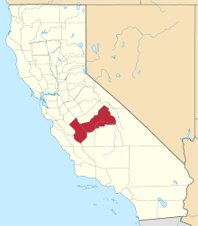
Rodgers Crossing is an unincorporated community in Fresno County, California.[1] It is located on the Kings River 3 miles (4.8 km) south of Balch Camp,[2] at an elevation of 1020 feet (311 m).[1]
Rodgers Crossing | |
|---|---|
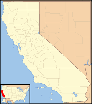 Rodgers Crossing Location in California  Rodgers Crossing Rodgers Crossing (the United States) | |
| Coordinates: 36°51′43″N 119°07′15″W | |
| Country | United States |
| State | California |
| County | Fresno County |
| Elevation | 1,020 ft (311 m) |
Rodger's crossing is a point on the South Fork of the Kings River with a flow gauge. It is a couple miles upriver from Pine Flat Reservoir.
References
- U.S. Geological Survey Geographic Names Information System: Rodgers Crossing, California
- Durham, David L. (1998). California's Geographic Names: A Gazetteer of Historic and Modern Names of the State. Clovis, Calif.: Word Dancer Press. p. 1098. ISBN 1-884995-14-4.
This article is issued from Wikipedia. The text is licensed under Creative Commons - Attribution - Sharealike. Additional terms may apply for the media files.