Reid Glacier (Oregon)
Reid Glacier is an alpine glacier located on the west slope of Mount Hood in the U.S. state of Oregon.[2] It ranges in elevation from about 9,800 to 6,000 feet (3,000 to 1,800 m). The glacier is the source of the Sandy River. The upper extent of the glacier is known for extensive crevasses.
| Reid Glacier | |
|---|---|
_2618.JPG) | |
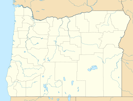 Reid Glacier Location in Oregon | |
| Type | Mountain glacier |
| Location | Clackamas County, Oregon, United States |
| Coordinates | 45°22′15″N 121°43′08″W[1] |
| Area | 126 acres (51 ha) (2004 estimate) |
| Length | .75 mi (1.21 km) |
| Terminus | Ice fall |
| Status | Retreating |
The glacier is a remnant of the massive glaciers that formed during the last ice age. It is bounded on the north by Yokum Ridge which also defines the southern side of Sandy Glacier, and by a ridge on the south bounding the north side of Zigzag Glacier. The eastern and upper reaches of this ridge include Illumination Rock. The uppermost portion of the glacier is below Leuthold Couloir. The glacier lies entirely within Mount Hood Wilderness.
Between 1907 and 2004, Reid Glacier lost 35% of its surface area. The glacier terminus has retreated by 1,607 feet (490 m) over the same time period.[3]
References
- "Reid Glacier". Geographic Names Information System. United States Geological Survey. Retrieved August 11, 2012.
- Mount Hood South, OR (Map). TopoQwest (United States Geological Survey Maps). Retrieved August 11, 2012.
- Jackson, Keith; Andrew Fountain (2007). "Spatial and morphological change on Eliot Glacier, Mount Hood, Oregon, USA" (pdf). Annals of Glaciology. 46: 222–226. doi:10.3189/172756407782871152. Retrieved August 11, 2012.