Rawdat Al `Ajuz
Rawdat Al `Ajuz (Arabic: رَوْضَة اَلْعَجُوز, romanized: Rawḑat al `Ajūz) is a rural district in Qatar, located in the municipality of Umm Salal. It is located near the border with Al Khor Municipality.[1][2]
Rawdat Al 'Ajuz رَوْضَة اَلْعَجُوز | |
|---|---|
 Rawdat Al 'Ajuz | |
| Coordinates: 25°33′N 51°23′E | |
| Country | |
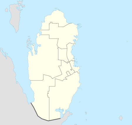
| Municipality | Umm Salal |
| Zone | Zone 71 |
Etymology
In Arabic, "rawda" refers to a depression that holds water and is rich in vegetation. Because of this, they are usually favored grazing spots for Bedouins. The second part, "ajouz", is the Arabic term for "old woman". According to local tradition, the area was named for an elderly woman who owned a farm as well as a herd of cattle, all of which perished in one day during a severe cold spell.[1]
History
J.G. Lorimer mentioned the area in his 1908 manuscript of the Gazetteer of the Persian Gulf. He described it as a Bedouin camping ground containing a well that lies "13 miles south-west from Khor Shaqiq and 10 from the east coast".[3]
References
- "District map". The Centre for Geographic Information Systems of Qatar. Retrieved 16 July 2018.
- "Rawḑat al 'Ajūz: Qatar". geographic.org. Retrieved 4 January 2019.
- "'Gazetteer of the Persian Gulf. Vol. II. Geographical and Statistical. J G Lorimer. 1908' [1526] (1641/2084)". Qatar Digital Library. Retrieved 6 July 2018. This article incorporates text from this source, which is in the public domain.
Capital: Umm Salal Ali | |||||
| Zone 71 |
| ||||
| Landmarks |
| ||||