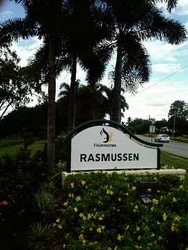
Rasmussen, Queensland
Rasmussen is a suburb of Townsville in the City of Townsville in Queensland, Australia.[2]
| Rasmussen Townsville, Queensland | |||||||||||||||
|---|---|---|---|---|---|---|---|---|---|---|---|---|---|---|---|
 | |||||||||||||||
| Population | 4,456 (2016 census)[1] | ||||||||||||||
| Postcode(s) | 4815 | ||||||||||||||
| LGA(s) | City of Townsville | ||||||||||||||
| State electorate(s) | Thuringowa | ||||||||||||||
| Federal Division(s) | Herbert | ||||||||||||||
| |||||||||||||||
Geography
Rasmussen is the second suburb on Riverway Drive and is between the suburbs of Condon and Kelso.
The area is flat and is bounded on the east by the Ross River.[3]
It is a rapidly expanding suburb with many residential estates planned or under construction.
History
Like all the suburbs in the Upper Ross and Riverway area, it is named after early settlers. Rasmussen is named after the Danish Rasmussen family (Jorgen Rasmussen). The family had a dairy farm on the Ross River.
Rasmussen State School opened in 1978.[4]
In 2018 two developers have announced plans for major shopping centres.[5]
Facilities
Rasmussen State School is located on Allambie Lane[6] and has 485 enrolled students.[7]
Rasmussen Neighbourhood Police Beat is located at 66 Meryl Street.[8]
References
- Australian Bureau of Statistics (27 June 2017). "Rasmussen (State Suburb)". 2016 Census QuickStats. Retrieved 18 April 2018.

- "Rasmussen - suburb (entry 44631)". Queensland Place Names. Queensland Government. Retrieved 26 June 2017.
- "Townsville Rasmussen". Edmund Rice Network Oceania. 26 May 2010. Retrieved 11 August 2010.
- "Opening and closing dates of Queensland Schools". Queensland Government. Retrieved 18 April 2019.
- "Subscribe to the Townsville Bulletin". www.townsvillebulletin.com.au. Retrieved 13 November 2018.
- "Rasmussen State School - Contact Us". 2002. Retrieved 11 August 2010.
- "Rasmussen State School, in Rasmussen". Retrieved 11 August 2010.
- "Rasmussen Neighbourhood Police Beat". State of Queensland (Queensland Police Service). 4 August 2006. Retrieved 11 August 2010.
- "Thuringowa past and present", by Diane Vance
External links