Quinnipiac River State Park
Quinnipiac River State Park is a public recreation area located in the town of North Haven, Connecticut. The four sections of the state park protect 6 miles (9.7 km) of the Quinnipiac River. The park is traversed by a 4-mile (6.4 km) stretch of the Quinnipiac Trail. The park was created in 1948 on land left over from the construction of the Wilbur Cross Parkway. In addition to hiking, the park offers canoeing, fishing, and hunting. It is managed by the Connecticut Department of Energy and Environmental Protection.[3]
| Quinnipiac River State Park | |
|---|---|
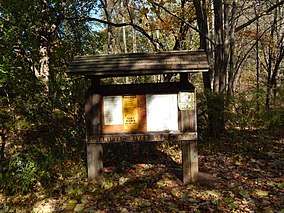 Quinnipiac River State Park, October 2013 | |
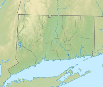 Location in Connecticut | |
| Location | North Haven, Connecticut, United States |
| Coordinates | 41°25′23″N 72°51′12″W[1] |
| Area | 323 acres (131 ha)[2] |
| Elevation | 20 ft (6.1 m)[1] |
| Designation | Connecticut state park |
| Established | 1948 |
| Administrator | Connecticut Department of Energy and Environmental Protection |
| Website | Quinnipiac River State Park |
References
- "Quinnipiac River State Park". Geographic Names Information System. United States Geological Survey.
- "Appendix A: List of State Parks and Forests" (PDF). State Parks and Forests: Funding. Staff Findings and Recommendations. Connecticut General Assembly. January 23, 2014. p. A-2. Retrieved August 23, 2016.
- "Quinnipiac River State Park". Connecticut Department of Energy and Environmental Protection. July 11, 2017. Retrieved October 9, 2017.
External links
- Quinnipiac River State Park Connecticut Department of Energy and Environmental Protection
- Quinnipiac River State Park Map North Haven Trails Association
This article is issued from Wikipedia. The text is licensed under Creative Commons - Attribution - Sharealike. Additional terms may apply for the media files.