Queens Community Board 4
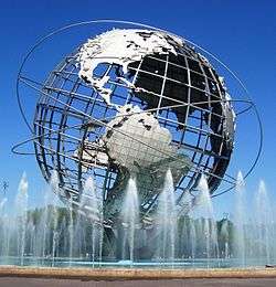
The Queens Community Board 4 is a local government in the New York City borough of Queens, encompassing the neighborhoods of Elmhurst, Corona, Corona Heights, Newtown, and also includes LeFrak City, Queens Center Mall and Flushing Meadows-Corona Park.[3] It is delimited by Roosevelt Avenue to the north, the New York Connecting Railroad to the west, the Horace Harding Expressway to the south and Flushing Meadows Corona Park on the east.
Queens Community District 4 | |
|---|---|
| Country | |
| State | |
| City | |
| Borough | Queens |
| Neighborhoods | |
| Government | |
| • Chair | Louis Walker |
| • District Manager | Christian Cassagnol |
| Area | |
| • Total | 2.4 sq mi (6 km2) |
| Population (2016) | |
| • Total | 142,289 |
| • Density | 59,000/sq mi (23,000/km2) |
| [1] | |
| Ethnicity | |
| • African-American | 7.9% |
| • Asian | 33.2% |
| • Hispanic and Latino Americans | 50.7% |
| • White | 6.3% |
| • Others | 1.9% |
| Area code | 718, 347, 929, and 917 |
| Police Precinct | 110th (website) |
| Website | www1 |
| [2] | |
References
- "Queens Community District 4" (PDF). Retrieved 6 August 2019.
- "NYC Planning | Community Profiles". communityprofiles.planning.nyc.gov. Retrieved 6 August 2019.
- Queens Community Boards, New York City. Accessed September 3, 2007.
External links
This article is issued from Wikipedia. The text is licensed under Creative Commons - Attribution - Sharealike. Additional terms may apply for the media files.