Pittsfield Municipal Airport (Massachusetts)
Pittsfield Municipal Airport (IATA: PSF[2], ICAO: KPSF, FAA LID: PSF) is two miles west of Pittsfield, in Berkshire County, Massachusetts.[1] The National Plan of Integrated Airport Systems for 2011–2015 categorized it as a general aviation facility.[3]
Pittsfield Municipal Airport | |||||||||||||||
|---|---|---|---|---|---|---|---|---|---|---|---|---|---|---|---|
| Summary | |||||||||||||||
| Airport type | Public | ||||||||||||||
| Owner | City of Pittsfield | ||||||||||||||
| Serves | Pittsfield, Massachusetts | ||||||||||||||
| Elevation AMSL | 1,194 ft / 364 m | ||||||||||||||
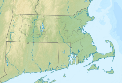
| Coordinates | 42°25′37″N 073°17′34″W | ||||||||||||||
| Map | |||||||||||||||
 PSF | |||||||||||||||
| Runways | |||||||||||||||
| |||||||||||||||
| Statistics (2012) | |||||||||||||||
| |||||||||||||||
The first airline flights were Mohawk DC-3s, 1953 to 1958; Northeast DC-3s stopped at Pittsfield 1953-54 to 1962. Flights on commuter airlines like Command Airways and Precision Airlines lasted until 1983-84; Precision flew to Rutland, Vermont and New York City LaGuardia Airport.
Facilities
The airport covers 550 acres (223 ha) at an elevation of 1,194 feet (364 m). It has two asphalt runways: 8/26 is 5,791 by 100 feet (1,526 x 30 m) and 14/32 is 3,496 by 100 feet (1,066 x 30 m).[1]
In the year ending August 22, 2012 the airport had 33,000 aircraft operations, average 90 per day: 88% general aviation, 11% air taxi, and 1% military. 37 aircraft were then based at the airport: 76% single-engine, 13% multi-engine, and 11% jet.[1]
References
- FAA Airport Master Record for PSF (Form 5010 PDF). Federal Aviation Administration. Effective November 15, 2012.
- "IATA Airport Code Search (PSF: Pittsfield)". International Air Transport Association. Retrieved August 9, 2013.
-
"2011–2015 NPIAS Report, Appendix A" (PDF, 2.03 MB). National Plan of Integrated Airport Systems. Federal Aviation Administration. October 4, 2010. External link in
|work=(help)
External links
- Airport page at City of Pittsfield website
- Lyon Aviation, the fixed-base operator (FBO)
- Aerial image as of April 1995 from USGS The National Map
- FAA Terminal Procedures for PSF, effective June 18, 2020
- Resources for this airport:
- FAA airport information for PSF
- AirNav airport information for KPSF
- ASN accident history for PSF
- FlightAware airport information and live flight tracker
- NOAA/NWS weather observations: current, past three days
- SkyVector aeronautical chart, Terminal Procedures