Petina, Campania
Petina (Campanian: Appetine) is a town and comune in the province of Salerno in the Campania region of south-western Italy.
Petina | |
|---|---|
| Comune di Petina | |
.jpg) View from below with a peak of the Alburni | |
Location of Petina 
| |
 Petina Location of Petina in Italy 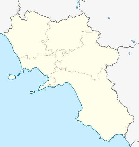 Petina Petina (Campania) | |
| Coordinates: 40°32′N 15°22′E | |
| Country | Italy |
| Region | Campania |
| Province | Salerno (SA) |
| Frazioni | Auletta, Corleto Monforte, Ottati, Sant'Angelo a Fasanella, Sicignano degli Alburni |
| Area | |
| • Total | 35.09 km2 (13.55 sq mi) |
| Elevation | 649 m (2,129 ft) |
| Population (1 April 2009)[2] | |
| • Total | 1,227 |
| • Density | 35/km2 (91/sq mi) |
| Time zone | UTC+1 (CET) |
| • Summer (DST) | UTC+2 (CEST) |
| Postal code | 84020 |
| Dialing code | 0828 |
| ISTAT code | 065094 |
| Patron saint | Sant'Onofrio |
| Saint day | 2 August |
| Website | Official website |
Geography
The town is located on the Alburni mountain range, close to Basilicata region, and borders with the municipalities of Auletta, Corleto Monforte, Ottati, Sant'Angelo a Fasanella and Sicignano degli Alburni.
It is served by the A2 motorway (exit "Petina") and counts a railway station on the Sicignano-Lagonegro line, a railway line closed in 1987 due to modernization works.
References
- "Superficie di Comuni Province e Regioni italiane al 9 ottobre 2011". Istat. Retrieved 16 March 2019.
- All demographics and other statistics from the Italian statistical institute (Istat); Dati - Popolazione residente all'1/4/2009
This article is issued from Wikipedia. The text is licensed under Creative Commons - Attribution - Sharealike. Additional terms may apply for the media files.