Pepper Gowt Plot
Pepper Gowt Plot, also known as Rowlands Marsh, was a hamlet and small tract of extra-parochial land, created when the River Witham was straightened in the early 19th century, and lies about 2 miles (3 km) north of the town of Boston, Lincolnshire, England, and immediately south of Anton's Gowt.
| Pepper Gowt Plot | |
|---|---|
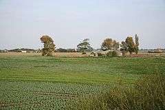 Pepper Gowt, or Rowlands Marsh, now Witham Marsh | |
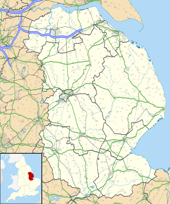 Pepper Gowt Plot Location within Lincolnshire | |
| OS grid reference | TF308467 |
| • London | 105 mi (169 km) S |
| District |
|
| Shire county | |
| Region | |
| Country | England |
| Sovereign state | United Kingdom |
| Post town | Boston |
| Postcode district | PE21 |
| Dialling code | 01205 |
| Police | Lincolnshire |
| Fire | Lincolnshire |
| Ambulance | East Midlands |
| UK Parliament | |
It was a created a civil parish in 1858, when the principal land owner was John Rowland.[1] In 1906 it was abolished to enlarge the parish of Skirbeck.[2][3] In turn, Skirbeck civil parish was abolished in 1932 to enlarge the parishes of Boston and Fishtoft,[4] Today the area is known as Witham Marsh, and lies within Fishtoft civil parish. At the time of the 2011 census the population is included in the civil parish of Holland Fen with Brothertoft.
References
- Kellys Directory for Lincolnshire (PDF). Kelly & Co. 1885. p. 400. Retrieved 19 July 2011.
- "Pepper Gowt Plot". Vision of Britain. University of Portsmouth. Archived from the original on 24 December 2012. Retrieved 19 July 2011.
- Kellys Directory for Lincolnshire (PDF). Kelly & Co. 1919. p. 77. Retrieved 19 July 2011.
- "Skirbeck". Vision of Britain. University of Portsmouth. Archived from the original on 17 September 2012. Retrieved 19 July 2011.
England Portal | |
| Unitary authorities | |
| Boroughs or districts | |
| Major settlements |
|
| Topics | |
This article is issued from Wikipedia. The text is licensed under Creative Commons - Attribution - Sharealike. Additional terms may apply for the media files.