Pelham, Tennessee
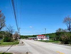
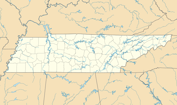
Pelham is an unincorporated community and census-designated place (CDP) in Grundy County, Tennessee, United States. As of the 2010 census, its population was 403.[2] Pelham is located at the junction of U.S. Route 41, State Route 2, and State Route 50 near the base of the Cumberland Plateau, 5.35 miles (8.61 km) north-northwest of Monteagle.[4] Pelham has a post office with ZIP code 37366, which opened on April 4, 1832.[5][6]
Pelham, Tennessee | |
|---|---|
 | |
 Pelham  Pelham | |
| Coordinates: 35°18′36″N 85°52′51″W | |
| Country | United States |
| State | Tennessee |
| County | Grundy |
| Area | |
| • Total | 16.640 sq mi (43.10 km2) |
| • Land | 16.640 sq mi (43.10 km2) |
| • Water | 0 sq mi (0 km2) |
| Elevation | 1,024 ft (312 m) |
| Population | |
| • Total | 403 |
| • Density | 24/sq mi (9.4/km2) |
| Time zone | UTC-6 (Central (CST)) |
| • Summer (DST) | UTC-5 (CDT) |
| ZIP code | 37366 |
| Area code(s) | 931 |
| GNIS feature ID | 1297123[3] |
The community is believed to have been named for a family of early settlers.[7] There is a school in Pelham. It is Pelham Elementary school.
References
- "US Gazetteer files: 2010, 2000, and 1990". United States Census Bureau. 2011-02-12. Retrieved 2011-04-23.
- "U.S. Census website". United States Census Bureau. Retrieved 2011-05-14.
- "Pelham". Geographic Names Information System. United States Geological Survey.
- Grundy County, Tennessee General Highway Map (PDF) (Map). Tennessee Department of Transportation. 2005. Archived from the original (PDF) on 2003-04-13. Retrieved December 12, 2012.
- United States Postal Service (2012). "USPS - Look Up a ZIP Code". Retrieved 2012-02-15.
- "Postmaster Finder - Post Offices by ZIP Code". United States Postal Service. Retrieved December 12, 2012.
- Janelle Layne Taylor, "Pelham Valley Places," Grundy County History website. Accessed: 18 April 2016.
Municipalities and communities of Grundy County, Tennessee, United States | ||
|---|---|---|
| Cities | ||
| Towns | ||
| CDP | ||
| Footnotes | ‡This populated place also has portions in an adjacent county or counties | |
This article is issued from Wikipedia. The text is licensed under Creative Commons - Attribution - Sharealike. Additional terms may apply for the media files.