Peak Hill, Lincolnshire
Peak Hill is a hamlet in the South Holland district of Lincolnshire, England. It is situated 4 miles (6 km) south from Spalding and 10 miles (16 km) north-east from Peterborough. The nearest village is Cowbit, about 1 mile (1.6 km) to the north.
| Peak Hill | |
|---|---|
 Peak Hill | |
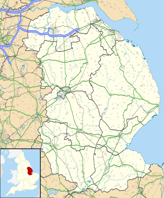 Peak Hill Location within Lincolnshire | |
| OS grid reference | TF264161 |
| • London | 80 mi (130 km) S |
| Civil parish | |
| District | |
| Shire county | |
| Region | |
| Country | England |
| Sovereign state | United Kingdom |
| Postcode district | PE12 |
| Police | Lincolnshire |
| Fire | Lincolnshire |
| Ambulance | East Midlands |
| UK Parliament | |
Peak Hill is on the eastern bank of the New River (an artificial course of the River Welland), and on Barrier Bank, the former A1073 road. In October 2011 the A1073 was rerouted to the east of the hamlet and redesignated as part of the A16.[1]
The elevation of the village is given as a 5-metre spot height on the Ordnance Survey maps, but the surrounding spot heights are all 2m.[2]
References
- "A1073 - Spalding to Eye Improvement Scheme". Lincolnshire County Council. Archived from the original on 16 August 2011. Retrieved 7 March 2010.
- Spalding & Holbeach:Long Sutton & Kirton (Map) (A1 ed.). 1:25000. Explorer. Ordnance Survey. p. 249. ISBN 9780319238127. Retrieved 21 October 2013.
External links

England Portal | |
| Unitary authorities | |
| Boroughs or districts | |
| Major settlements |
|
| Topics | |
This article is issued from Wikipedia. The text is licensed under Creative Commons - Attribution - Sharealike. Additional terms may apply for the media files.