Pawnee, Missouri
Pawnee is an unincorporated community in Harrison County, in the U.S. state of Missouri.[1]
The community is at the junction of Missouri Route 46 and county route YY and north of the confluence of Wolf Creek with the West Fork of Big Creek. The community of Hatfield is 5.5 miles to the west along Route 46 and Eaglevile is approximately five miles to the southeast.[2]
History
A post office called Pawnee was established in 1886, and remained in operation until 1908.[3] The community most likely has the name of the Pawnee Indians.[4]
References
- U.S. Geological Survey Geographic Names Information System: Pawnee, Missouri
- Pawnee, MO, 7.5 Minute Topographic Quadrangle, USGS, 1981
- "Post Offices". Jim Forte Postal History. Retrieved 3 October 2016.
- "Harrison County Place Names, 1928–1945 (archived)". The State Historical Society of Missouri. Archived from the original on 24 June 2016. Retrieved 3 October 2016.CS1 maint: BOT: original-url status unknown (link)
Municipalities and communities of Harrison County, Missouri, United States | ||
|---|---|---|
| Cities | 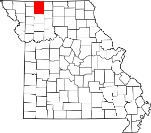 Map of Missouri highlighting Harrison County | |
| Villages | ||
| Townships | ||
| Unincorporated communities | ||
| Footnotes | ‡This populated place also has portions in an adjacent county or counties | |
This article is issued from Wikipedia. The text is licensed under Creative Commons - Attribution - Sharealike. Additional terms may apply for the media files.