Palenga, Uganda
Palenga is a town in the Omoro District in the Northern Region of Uganda. It is the site of the district headquarters.
Palenga | |
|---|---|
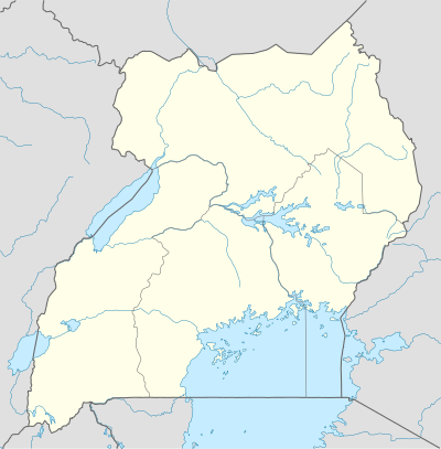 Palenga Location in Uganda | |
| Coordinates: 02°34′35″N 32°21′16″E | |
| Country | |
| Region | Northern Region |
| Sub-region | Acholi sub-region |
| District | Omoro District |
Location
Palenga is approximately 24 kilometres (15 mi), by road, south of Gulu, the nearest large city.[1] This is approximately 311 kilometres (193 mi), by road, north of Kampala, the capital and largest city of Uganda.[2] The geographical coordinates of Palenga, Uganda are:02°34'35.0"N, 32°21'16.0"E (Latitude:2.576389; Longitude:32.354444).[3]
Overwiew
Palenga lies on the Kamdini–Gulu Road, which passes through the town in a general south to north direction.[4]
See also
References
- GFC (8 August 2017). "Distance between Gulu, Northern Region, Uganda and Palenga, Northern Region, Uganda". Globefeed.com (GFC). Retrieved 8 August 2017.
- GFC (8 August 2017). "Distance between Post Office Building, Kampala Road, Kampala, Uganda and Palenga, Northern Region, Uganda". Globefeed.com (GFC). Retrieved 8 August 2017.
- Google (8 August 2017). "Location of Palenga, Uganda With Geographical Coordinates" (Map). Google Maps. Google. Retrieved 8 August 2017.
- Google (8 August 2017). "Map Showing Location of Palenga, Uganda With Kamdini-Gulu Road Passing Through Town" (Map). Google Maps. Google. Retrieved 8 August 2017.
External links
Capital: Palenga | |
| Counties and sub-counties | |
| Towns and villages | |
| Economy | |
| Energy | |
| Notable landmarks | |
| Transport | |
| Notable people | |
This article is issued from Wikipedia. The text is licensed under Creative Commons - Attribution - Sharealike. Additional terms may apply for the media files.