Orient, Maine
Orient is a town in Aroostook County, Maine, United States. The population was 147 at the 2010 census.
Orient, Maine | |
|---|---|
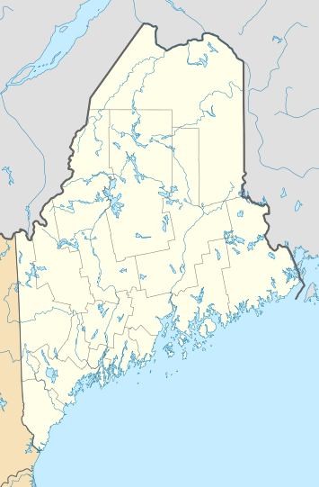 Orient, Maine Location within the state of Maine | |
| Coordinates: 45°48′52″N 67°50′26″W | |
| Country | United States |
| State | Maine |
| County | Aroostook |
| Area | |
| • Total | 37.67 sq mi (97.56 km2) |
| • Land | 35.52 sq mi (92.00 km2) |
| • Water | 2.15 sq mi (5.57 km2) |
| Elevation | 466 ft (142 m) |
| Population | |
| • Total | 147 |
| • Estimate (2012[3]) | 144 |
| • Density | 4.1/sq mi (1.6/km2) |
| Time zone | UTC-5 (Eastern (EST)) |
| • Summer (DST) | UTC-4 (EDT) |
| ZIP code | 04471 |
| Area code(s) | 207 |
| FIPS code | 23-55435 |
| GNIS feature ID | 0582649 |
Geography
According to the United States Census Bureau, the town has a total area of 37.67 square miles (97.56 km2), of which 35.52 square miles (92.00 km2) is land and 2.15 square miles (5.57 km2) is water.[1]
Demographics
| Historical population | |||
|---|---|---|---|
| Census | Pop. | %± | |
| 1850 | 205 | — | |
| 1860 | 233 | 13.7% | |
| 1870 | 219 | −6.0% | |
| 1880 | 224 | 2.3% | |
| 1890 | 244 | 8.9% | |
| 1900 | 208 | −14.8% | |
| 1910 | 187 | −10.1% | |
| 1920 | 170 | −9.1% | |
| 1930 | 161 | −5.3% | |
| 1940 | 147 | −8.7% | |
| 1950 | 176 | 19.7% | |
| 1960 | 124 | −29.5% | |
| 1970 | 83 | −33.1% | |
| 1980 | 97 | 16.9% | |
| 1990 | 157 | 61.9% | |
| 2000 | 145 | −7.6% | |
| 2010 | 147 | 1.4% | |
| Est. 2014 | 142 | [4] | −3.4% |
| U.S. Decennial Census[5] | |||
2010 census
At the 2010 census there were 147 people, 63 households, and 39 families living in the town. The population density was 4.1 inhabitants per square mile (1.6/km2). There were 282 housing units at an average density of 7.9 per square mile (3.1/km2). The racial makeup of the town was 95.9% White, 0.7% Native American, and 3.4% from two or more races. Hispanic or Latino of any race were 2.0%.[2]
Of the 63 households 25.4% had children under the age of 18 living with them, 46.0% were married couples living together, 12.7% had a female householder with no husband present, 3.2% had a male householder with no wife present, and 38.1% were non-families. 25.4% of households were one person and 4.8% were one person aged 65 or older. The average household size was 2.33 and the average family size was 2.69.
The median age in the town was 47.3 years. 19% of residents were under the age of 18; 9% were between the ages of 18 and 24; 18.4% were from 25 to 44; 38.1% were from 45 to 64; and 15.6% were 65 or older. The gender makeup of the town was 53.7% male and 46.3% female.
2000 census
At the 2000 census there were 145 people, 61 households, and 40 families living in the town. The population density was 4.1 people per square mile (1.6/km²). There were 270 housing units at an average density of 7.5 per square mile (2.9/km²). The racial makeup of the town was 100.00% White. Hispanic or Latino of any race were 0.69%.[6]
Of the 61 households 31.1% had children under the age of 18 living with them, 50.8% were married couples living together, 9.8% had a female householder with no husband present, and 32.8% were non-families. 23.0% of households were one person and 6.6% were one person aged 65 or older. The average household size was 2.38 and the average family size was 2.76.
The age distribution was 22.8% under the age of 18, 4.8% from 18 to 24, 28.3% from 25 to 44, 24.8% from 45 to 64, and 19.3% 65 or older. The median age was 42 years. For every 100 females, there were 107.1 males. For every 100 females age 18 and over, there were 111.3 males.
The median household income was $19,750 and the median family income was $26,250. Males had a median income of $36,250 versus $20,625 for females. The per capita income for the town was $12,131. There were 18.2% of families and 29.6% of the population living below the poverty line, including 29.7% of under eighteens and 6.5% of those over 64.
References
- "US Gazetteer files 2010". United States Census Bureau. Retrieved 2012-12-16.
- "U.S. Census website". United States Census Bureau. Retrieved 2012-12-16.
- "Population Estimates". United States Census Bureau. Archived from the original on June 11, 2013. Retrieved 2013-07-06.
- "Annual Estimates of the Resident Population for Incorporated Places: April 1, 2010 to July 1, 2014". Archived from the original on May 23, 2015. Retrieved June 4, 2015.
- "Census of Population and Housing". Census.gov. Retrieved June 4, 2015.
- "U.S. Census website". United States Census Bureau. Retrieved 2008-01-31.
Municipalities and communities of Aroostook County, Maine, United States | ||
|---|---|---|
| Cities |  Aroostook County map | |
| Towns |
| |
| Plantations | ||
| Unorganized territories | ||
| CDPs | ||
| Other villages | ||
| Indian reservations | ||