Glenwood Plantation, Maine
Glenwood Plantation is a plantation located in Aroostook County, Maine, United States. At the 2010 census, the plantation had a total population of 3.[1]
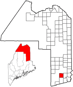
Location of Glenwood Plantation, Maine
Geography
According to the United States Census Bureau, the plantation has a total area of 39.5 square miles (102.4 km2), of which 38.1 square miles (98.8 km2) is land and 1.4 square miles (3.6 km2), or 3.48%, is water.[1]
Demographics
| Historical population | |||
|---|---|---|---|
| Census | Pop. | %± | |
| 1870 | 185 | — | |
| 1880 | 198 | 7.0% | |
| 1890 | 183 | −7.6% | |
| 1900 | 178 | −2.7% | |
| 1910 | 128 | −28.1% | |
| 1920 | 87 | −32.0% | |
| 1930 | 77 | −11.5% | |
| 1940 | 75 | −2.6% | |
| 1950 | 53 | −29.3% | |
| 1960 | 30 | −43.4% | |
| 1970 | 9 | −70.0% | |
| 1980 | 7 | −22.2% | |
| 1990 | 8 | 14.3% | |
| 2010 | 3 | — | |
| Est. 2014 | 3 | [2] | 0.0% |
| U.S. Decennial Census[3] | |||
At the 2010 Census, there were three people living in the plantation.[1]
Politics
Due to its low population Glenwood Plantation only cast 2 votes in the 2016 Presidential Election, Both of the votes were for Republican candidate Donald Trump.[4] However, both ballots also voted to raise the minimum wage to $12/hour and enact a 3% surcharge on incomes over $200,000/year.[5]
References
- "Geographic Identifiers: 2010 Demographic Profile Data (G001): Glenwood plantation, Aroostook County, Maine". U.S. Census Bureau, American Factfinder. Archived from the original on February 12, 2020. Retrieved May 21, 2013.
- "Annual Estimates of the Resident Population for Incorporated Places: April 1, 2010 to July 1, 2014". Archived from the original on May 23, 2015. Retrieved June 4, 2015.
- "Census of Population and Housing". Census.gov. Retrieved June 4, 2015.
- http://www.maine.gov/sos/cec/elec/results/2016/president.xlsx
- http://www.maine.gov/sos/cec/elec/results/2016/referendum.xlsx
External links
Municipalities and communities of Aroostook County, Maine, United States | ||
|---|---|---|
| Cities |  Aroostook County map | |
| Towns |
| |
| Plantations | ||
| Unorganized territories | ||
| CDPs | ||
| Other villages | ||
| Indian reservations | ||
This article is issued from Wikipedia. The text is licensed under Creative Commons - Attribution - Sharealike. Additional terms may apply for the media files.