O'Reilly Island
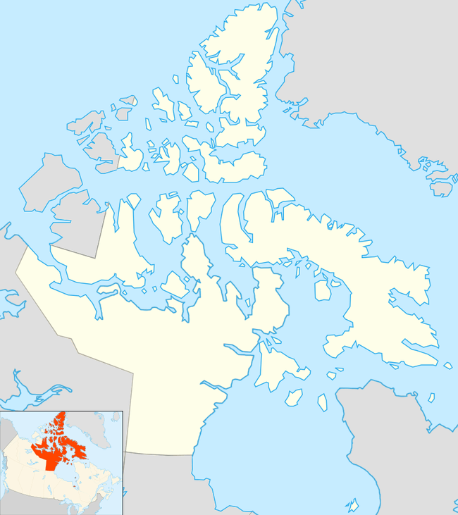
O'Reilly Island is an uninhabited island in Nunavut Territory, Canada.[1] It lies to the south of King William Island and to the west of the Klutschak and Adelaide Peninsulas, in the easternmost part of the Queen Maud Gulf.
 O'Reilly Island | |
| Geography | |
|---|---|
| Location | Queen Maud Gulf[1] |
| Coordinates | 68°02′13″N 98°58′53″W |
| Archipelago | Canadian Arctic Archipelago |
| Area | 34.6 km2 (13.4 sq mi) |
| Administration | |
Canada | |
| Territory | Nunavut |
History
The island and especially the islet to the northwest was extensively used by the Thule and later Inuit peoples to hunt seal and caribou.[2]
The wreck of HMS Erebus from Franklin's lost expedition was discovered just west of O'Reilly Island in Queen Maud Gulf, in September 2014.[3][4] However, Nancy Anilniliak, the Field Unit Superintendent of the Nunavut Field Unit, has restricted access to a rectangular area in Wilmot and Crampton Bay, to the west of the Adelaide Peninsula and about 25 km (16 mi) northeast of O'Reilly Island. The area runs from Point A (68°14′44.8″N 98°52′22.3″W) to Point B (68°17′44.2″N 98°40′17.9″W) to Point C (68°13′15.4″N 98°32′16.2″W) to Point D (68°10′16.5″N 98°44′19.3″W).[5]
References
- "Map of O'Reilly Island, Nunavut, Island – Canada Geographical Names with Maps".
- "Archaeology Reports: Central Arctic". Prince of Wales Northern Heritage Centre. 1997. Retrieved 12 Sep 2014.
- Chase, Steven (9 September 2014). "Finding of Franklin ship fuels Harper's new nationalism". The Globe and Mail. Ottawa. Retrieved 10 September 2014.
- "Franklin expedition ship found in Arctic ID'd as HMS Erebus". CBC News. 1 October 2014. Retrieved 2 October 2014.
- Restricted area and activities in The Wrecks Of HMS Erebus and HMS Terror National Historic Site Of Canada