Nag Tibba
Nag Tibba ('Serpent's Peak'), 3,022 metres (9,915 ft), is the highest peak in the lesser himalayan region of Uttarakhand state (Garhwal Division), and lends its name to the 'Nag Tibba Range', itself the next-northerly of the five folds of the Himalaya. It is situated 16 km (9.9 mi) away from Landour cantonment, and around 57 km from Mussoorie in Tehri Garhwal region of Uttarakhand. The 'Nag Tibba Range' is amongst three principal ranges of the Lesser Himalayas, which includes the Dhauladhar, and the Pir Panjal, which branched off from the Great Himalayas[1][2]
| Nag Tibba | |
|---|---|
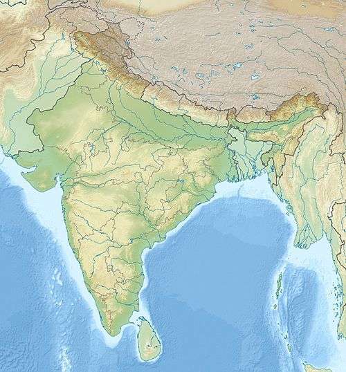 Nag Tibba Location in northern India | |
| Highest point | |
| Elevation | 3,022 m (9,915 ft) |
| Coordinates | 30°35′11″N 78°9′4″E |
| Geography | |
| Location | Uttarakhand, India |
| Parent range | Garhwal Himalaya |
Importance
It is believed to be the abode of 'Nag Devta' or God of Snakes, from which it borrows the first part of its name; 'Tibba' is a local word for hill or peak. Local villagers come here to offer their prayers to Nag Devta for the protection of their cattle. This place is at elevation of 3048 meters. Nag Tibba is the highest peak in the lower Himalayan range of Uttarakhand.
Etymology
Nagtibba means place or abode of the Snake God. It has a temple on the top, and a little over, one can see entire Bandarpoonch ranges of Great Indian Himalayas towards the Yumnotri side.
References
- Nag Tibba Britannica.com.
- Outlook (2005). Trekking holidays in India: 85 treks + 50 trekking options-Outlook traveller getaways. India: Outlook Pub. p. 196. ISBN 81-89449-00-1.