Murton, Cumbria
Murton is a small village and civil parish in the Eden District of Cumbria, England. It has a population of 330[1] as of the 2011 Census.[2] Settlements within the parish include the villages of Hilton, Langton, Brackenber and various small farms, houses and cottages. The town of Appleby-in-Westmorland is to the south-west.
| Murton | |
|---|---|
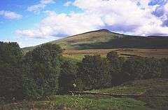 Murton Pike | |
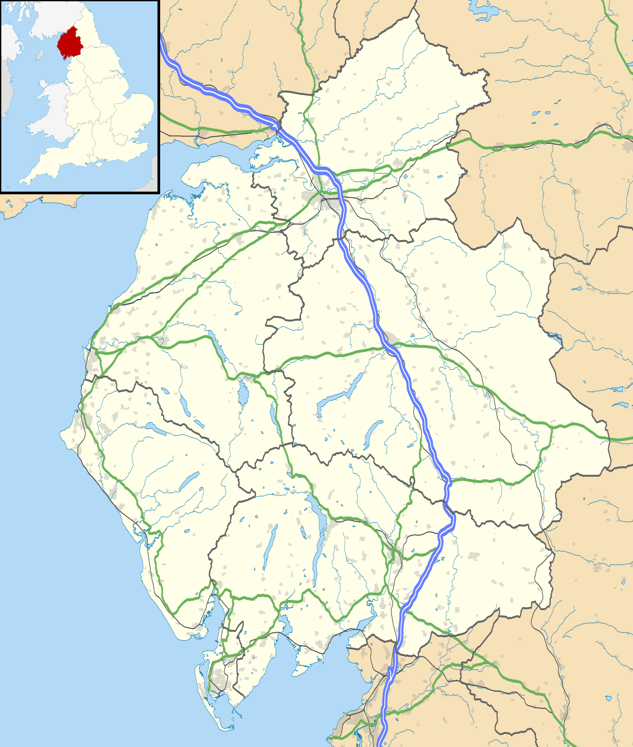 Murton Location within Cumbria | |
| Population | 360 (2011) |
| OS grid reference | NY7221 |
| Civil parish |
|
| District |
|
| Shire county | |
| Region | |
| Country | England |
| Sovereign state | United Kingdom |
| Post town | APPLEBY IN WESTMORLAND |
| Postcode district | CA16 |
| Dialling code | 01768 |
| Police | Cumbria |
| Fire | Cumbria |
| Ambulance | North West |
| UK Parliament | |
Geography
Murton is located 200meters west of the foot of Murton Pike. The Village covers an area roughly measuring 6.88ha. A small stream known as Murton Beck runs through the village and down Murton Gill (a small woodland on the west side of the village). The stream continues west through Flakebridge wood before joining up with Keisley Beck. A Kilometre south of Murton lies Hilton village and the streams of Hilton Beck and Stannerstones Sike. 1.6 km to the east is Brackenber which lies west of George Gill and Lycum Sike. Murton Pike, to the west of Murton Village, is 594 metres (1,949 ft) high and a triangulation point,[3] it is a south-westerly outlier of Murton Fell, which rises to over 670 metres (2,200 ft) at two points.[4] Parts of Murton Fell lie within the British Army’s Warcop Training Area.[5] South of Murton Pike lies Mickle Fell and Roman Fell, both of which are also part of the Warcop Training Area.
History
The Settlement Of Murton is hundreds of years old, dating from at least the 1300s. Joan Blaeu’s 1646 map, "Westmorlandia Comitatvs Anglice Westmorland" mentions a village by the name of "Morton" in the present area of Murton, a "Morton Pike" is also marked on the map. Christopher Saxton’s 1579 map marks "Morton" as well as a village known as "Helton" (probably referring to Hilton) and "Lanton". Murton Hall (marked as "Morton Hall" on past maps) is a grade II listed 14th century building located in the heart of Murton, it is believed that Murton Hall was one of if not the first settlement or building in Murton.
See also
References
- Office for National Statistics : Census 2001 : Parish Headcounts : Eden Retrieved 26 October 2010
- "Parish population 2011". Retrieved 23 June 2011.
- Murton Pike 54.602052°N 2.411299°W
- Murton Fell 54.617101°N 2.381473°W
- Walking in the North Pennines , Paddy Dillon , 1991 , "Warcop Range Section" , pp.71–82 google books preview
External links
- The Pennine Villages of the Eden Valley, and the North Pennines www.visitcumbria.com
| Wikimedia Commons has media related to Murton, Cumbria. |
Cumbria Portal | |
| Boroughs or districts | |
| Major settlements |
|
| Topics | |
| Authority control |
|---|