Mungrisdale
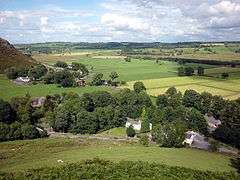
Mungrisdale is a small village and civil parish in the north east of the English Lake District in Cumbria. It is also the name of the valley in which the village sits. Mungrisdale is a popular starting point for ascents of the nearby hills, such as Bowscale Fell, Bannerdale Crags and Souther Fell. It lies on the River Glenderamackin, a tributary of the Greta.[1]
| Mungrisdale | |
|---|---|
 Mungrisdale | |
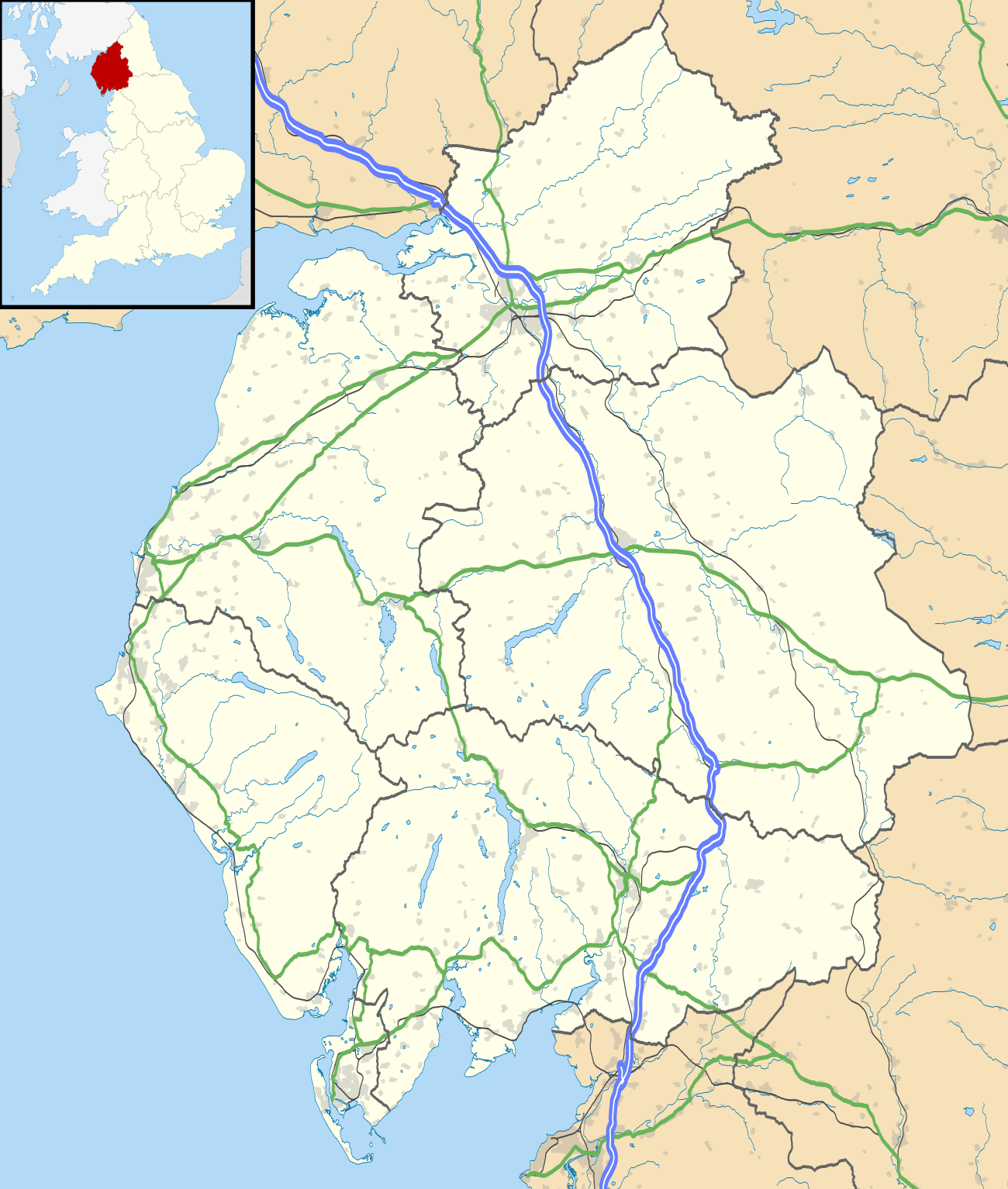 Mungrisdale Location within Cumbria | |
| Population | 297 (2011) |
| OS grid reference | NY3630 |
| Civil parish |
|
| District |
|
| Shire county | |
| Region | |
| Country | England |
| Sovereign state | United Kingdom |
| Post town | PENRITH |
| Postcode district | CA11 |
| Dialling code | 01768 |
| Police | Cumbria |
| Fire | Cumbria |
| Ambulance | North West |
| UK Parliament | |
Mungrisdale has no local amenities except for the Grade II* listed St Kentigern's Church built in 1756,[2] a village hall[3] and a pub, the Mill Inn.[4] The parish has a population of 284,[5] increasing to 297 at the 2011 Census.[6]
References
- OL5 The English Lakes – North Eastern Area (Map). 1:25000. Explorer. Ordnance Survey.
- Historic England. "Church of St Kentigern (1137800)". National Heritage List for England. Retrieved 5 January 2017.
- "Village Hall". Mungrisdale Parish Website. Retrieved 30 April 2019.
- "Mill Inn". Robinsons Brewery. Retrieved 26 April 2019.
- Office for National Statistics : Census 2001 : Parish Headcounts : Eden Retrieved 26 October 2010
- "Parish population 2011". Retrieved 20 June 2015.
External links
| Wikimedia Commons has media related to Mungrisdale. |
Cumbria Portal | |
| Boroughs or districts | |
| Major settlements |
|
| Topics | |
This article is issued from Wikipedia. The text is licensed under Creative Commons - Attribution - Sharealike. Additional terms may apply for the media files.