Mount Elizabeth Station
Mount Elizabeth Station is a pastoral lease that operates as a cattle station in Western Australia.
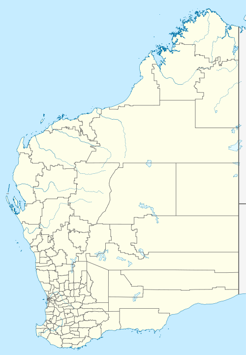

It is situated about 205 kilometres (127 mi) north of Fitzroy Crossing and approximately 340 kilometres (211 mi) east of Derby just off the Gibb River Road in the Kimberley region.
The abundant water supply and multiple food sources of the area enabled Aboriginal peoples to develop a rich cultural life in the area. Examples of both Bradshaw and Wandjina artwork can be found on rock outcrops at the station.
Gold prospector and explorer Frank Hann visited the area in 1898 and named Mount Elizabeth after his mother.[1]
Pioneer Frank Lacy drove a herd of cattle across the Kimberley and established the station in 1945. Both Lacy and his wife, Theresa, are buried near the homestead.[1]
The Lacy family has held the lease since 1945 and started offering accommodation to tourists in addition to rearing cattle in the 2000s.[2]
As of 2014 the 1,791-square-kilometre (692 sq mi) property was still on the market along with at least 15 others in the Kimberley and Northern Territory.[3] The property is stocked with approximately 6,000 head of cattle.[1]
Climate
| Climate data for Mount Elizabeth Station, Western Australia | |||||||||||||
|---|---|---|---|---|---|---|---|---|---|---|---|---|---|
| Month | Jan | Feb | Mar | Apr | May | Jun | Jul | Aug | Sep | Oct | Nov | Dec | Year |
| Record high °C (°F) | 40.0 (104.0) |
39.8 (103.6) |
37.1 (98.8) |
37.0 (98.6) |
36.0 (96.8) |
33.5 (92.3) |
33.6 (92.5) |
36.0 (96.8) |
38.6 (101.5) |
41.5 (106.7) |
41.5 (106.7) |
40.9 (105.6) |
41.5 (106.7) |
| Average high °C (°F) | 32.8 (91.0) |
32.4 (90.3) |
32.7 (90.9) |
32.6 (90.7) |
30.1 (86.2) |
28.3 (82.9) |
28.5 (83.3) |
30.5 (86.9) |
34.2 (93.6) |
36.1 (97.0) |
36.1 (97.0) |
34.1 (93.4) |
32.4 (90.3) |
| Average low °C (°F) | 22.1 (71.8) |
21.9 (71.4) |
20.6 (69.1) |
16.8 (62.2) |
12.4 (54.3) |
9.2 (48.6) |
8.2 (46.8) |
9.3 (48.7) |
14.7 (58.5) |
19.3 (66.7) |
21.7 (71.1) |
22.4 (72.3) |
16.6 (61.9) |
| Record low °C (°F) | 15.7 (60.3) |
15.5 (59.9) |
12.2 (54.0) |
6.9 (44.4) |
−0.9 (30.4) |
−1.3 (29.7) |
−0.2 (31.6) |
0.0 (32.0) |
2.8 (37.0) |
9.0 (48.2) |
13.8 (56.8) |
12.0 (53.6) |
−1.3 (29.7) |
| Average precipitation mm (inches) | 257.6 (10.14) |
234.4 (9.23) |
158.1 (6.22) |
40.1 (1.58) |
16.0 (0.63) |
11.7 (0.46) |
3.3 (0.13) |
2.0 (0.08) |
7.8 (0.31) |
32.8 (1.29) |
79.0 (3.11) |
170.7 (6.72) |
996.5 (39.23) |
| Average rainy days | 17.4 | 15.4 | 11.4 | 3.5 | 1.7 | 0.8 | 0.5 | 0.4 | 1.0 | 4.1 | 8.6 | 12.6 | 77.4 |
| Source: [4] | |||||||||||||
References
- "Mt Elizabeth Gibb River Road Australia". Discover Australia. 2014. Retrieved 13 March 2015.
- "Mount Elizabeth Station". Mount Elizabeth Station. 2008. Retrieved 13 March 2015.
- James Nason (28 March 2014). "NT and Kimberley - 15 Pastoral holdings for sale". Beef Central. Nascon Media. Retrieved 10 March 2015.
- "Climate Statistics for Mount Elizabeth". Australian Bureau of Meteorology. Retrieved 7 June 2018.