Mount Bulla Bulla
Mount Bulla Bulla is a mountain in the Victorian Alps of the Great Dividing Range, located within the Alpine National Park, in the Australian state of Victoria.
| Mount Bulla Bulla | |
|---|---|
| Highest point | |
| Elevation | 906 m (2,972 ft) [1] |
| Coordinates | 37°3′38″S 146°25′6″E [2] |
| Geography | |
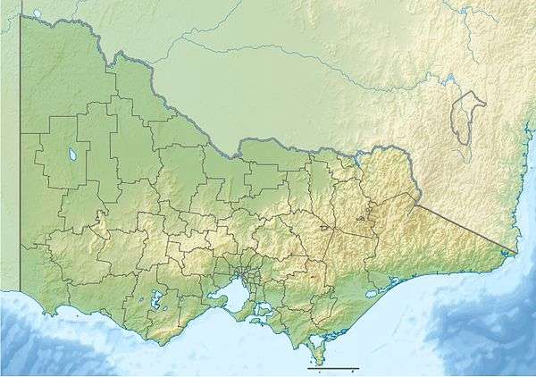
| Location | Mount Bulla Bulla in Victoria, Australia |
| Parent range | Victorian Alps, Great Dividing Range |
| Climbing | |
| First ascent | Unknown |
The mountain has an elevation of 906 metres (2,972 ft) AMSL. The closest village is Thredbo, New South Wales.[1] At the base of the mountain, the Deddick River forms its confluence with the Snowy River.[3]
References
- "Map of Mount Bulla Bulla, VIC". Bonzle Digital Atlas of Australia. Retrieved 2 January 2014.
- "Mount Bulla Bulla". Gazetteer of Australia online. Geoscience Australia, Australian Government.
- "Map of Deddick River, VIC". Bonzle Digital Atlas of Australia. Retrieved 2 January 2014.
This article is issued from Wikipedia. The text is licensed under Creative Commons - Attribution - Sharealike. Additional terms may apply for the media files.