Montopoli in Val d'Arno
Montopoli in Val d'Arno is a comune (municipality) in the Province of Pisa in the Italian region Tuscany, located about 40 kilometres (25 mi) southwest of Florence and about 30 kilometres (19 mi) east of Pisa.
Montopoli in Val d'Arno | |
|---|---|
| Comune di Montopoli in Val d'Arno | |
 Arch and Tower of Castruccio Castracani. | |
 Coat of arms | |
Location of Montopoli in Val d'Arno 
| |
 Montopoli in Val d'Arno Location of Montopoli in Val d'Arno in Italy 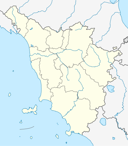 Montopoli in Val d'Arno Montopoli in Val d'Arno (Tuscany) | |
| Coordinates: 43°40′N 10°45′E | |
| Country | Italy |
| Region | Tuscany |
| Province | Pisa (PI) |
| Frazioni | Capanne, Castel del Bosco, Marti, San Romano |
| Government | |
| • Mayor | Alessandra Vivaldi |
| Area | |
| • Total | 29.9 km2 (11.5 sq mi) |
| Elevation | 98 m (322 ft) |
| Population | |
| • Total | 11,012 |
| • Density | 370/km2 (950/sq mi) |
| Demonym(s) | Montopolesi |
| Time zone | UTC+1 (CET) |
| • Summer (DST) | UTC+2 (CEST) |
| Postal code | 56020 |
| Dialing code | 0571 |
| Website | Official website |
Montopoli in Val d'Arno borders the following municipalities: Castelfranco di Sotto, Palaia, Pontedera, San Miniato, Santa Maria a Monte.
It is home to a tower and an arch named after Castruccio Castracani, once belonging to a castle. Outside of town is the Franciscan Sanctuary of the Madonna di San Romano and the parish church of Santa Maria Novella.
References
- "Superficie di Comuni Province e Regioni italiane al 9 ottobre 2011". Istat. Retrieved 16 March 2019.
- All demographics and other statistics: Italian statistical institute Istat.
- "Popolazione Residente al 1° Gennaio 2018". Istat. Retrieved 16 March 2019.
Twin towns


External links
| Wikimedia Commons has media related to Montopoli in Val d'Arno. |

| Authority control |
|
|---|
This article is issued from Wikipedia. The text is licensed under Creative Commons - Attribution - Sharealike. Additional terms may apply for the media files.