Monte Sillara
Monte Sillara is the highest peak in the Appennino Parmense, a sub-chain of the northern Apennines (Appennino Tosco-Emilano) in the province of Parma, northern Italy. It has an altitude of 1,861 m. The Sillara is located at the boundary of the provinces of Parma and Massa-Carrara, divided between the comuni of Monchio delle Corti (northern slopes) and Bagnone (southern ones).
| Monte Sillara | |
|---|---|
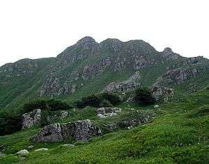 Monte Terricella in the Sillara's northern area | |
| Highest point | |
| Elevation | 1,861 m (6,106 ft) |
| Coordinates | 44°22′07″N 10°03′50″E |
| Geography | |
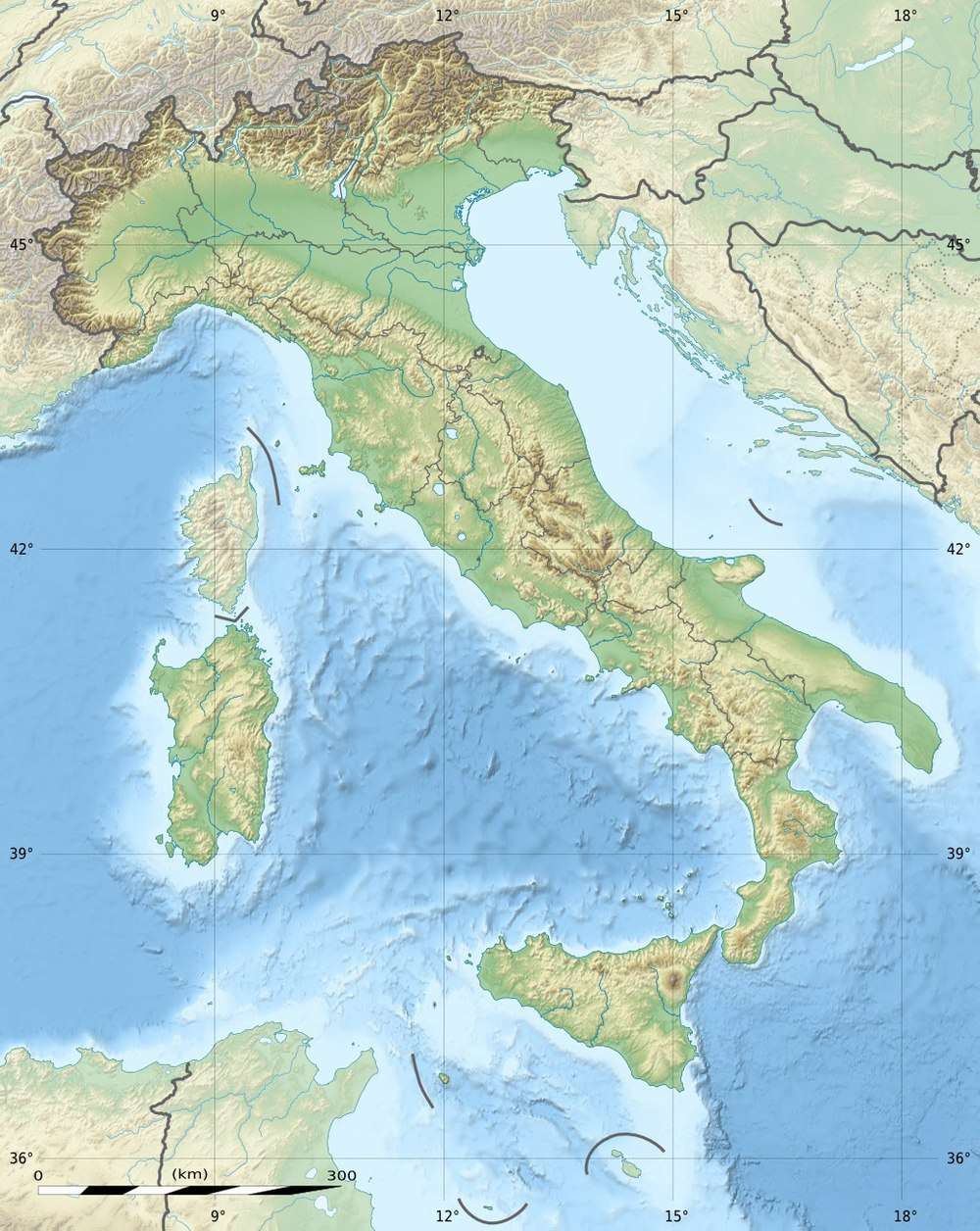 Monte Sillara Location in Italy | |
| Location | Emilia-Romagna, Tuscany, Italy |
| Parent range | Tuscan-Emilian Apennines |
On the Parmense side are two small glacial lakes, the Lake Sillara Superiore (11,400 sq. m, at 1,732 m) and the Lake Sillara Inferiore (11,350 sq. m, at 1,731 m). The source of the Bagnone torrent, a left affluence of the Magra River, can be found on the southern Sillara.
This article is issued from Wikipedia. The text is licensed under Creative Commons - Attribution - Sharealike. Additional terms may apply for the media files.