Monsanto, California
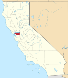
Monsanto is an unincorporated community in Contra Costa County, California, United States. It is located on the Atchison, Topeka and Santa Fe Railroad 4.5 miles (7.2 km) east of Martinez,[3] at an elevation of 13 feet (4 m).[1]
Monsanto | |
|---|---|
 Monsanto Location in California | |
| Coordinates: 38°01′34″N 122°03′20″W[1] | |
| Country | United States |
| State | California |
| County | Contra Costa County |
| Elevation | 13 ft (4 m) |
| GNIS ID[1][2] | 1659161 |
| FIPS code[1][2] | 06-48662 |
References
- "Monsanto (Contra Costa County, California)". Geographic Names Information System. United States Geological Survey. Retrieved May 11, 2014.
-
"FIPS55 Data: California". FIPS55 Data. United States Geological Survey. February 23, 2006. Archived from the original on June 18, 2006. Retrieved May 11, 2014. External link in
|work=(help)CS1 maint: unfit url (link) - Durham, David L. (1998). California's Geographic Names: A Gazetteer of Historic and Modern Names of the State. Clovis, Calif.: Word Dancer Press. p. 666. ISBN 1-884995-14-4.
This article is issued from Wikipedia. The text is licensed under Creative Commons - Attribution - Sharealike. Additional terms may apply for the media files.