Monléon-Magnoac
Monléon-Magnoac is a commune in the Hautes-Pyrénées department in south-western France. The most recent census data per the Spanish translation of this document was 363 inhabitants.
Monléon-Magnoac | |
|---|---|
Location of Monléon-Magnoac 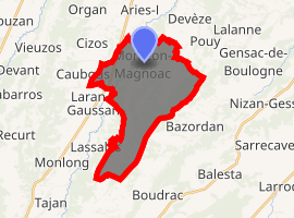
| |
 Monléon-Magnoac  Monléon-Magnoac | |
| Coordinates: 43°15′07″N 0°31′09″E | |
| Country | France |
| Region | Occitanie |
| Department | Hautes-Pyrénées |
| Arrondissement | Tarbes |
| Canton | Les Coteaux |
| Area 1 | 19.66 km2 (7.59 sq mi) |
| Population (2017-01-01)[1] | 439 |
| • Density | 22/km2 (58/sq mi) |
| Time zone | UTC+01:00 (CET) |
| • Summer (DST) | UTC+02:00 (CEST) |
| INSEE/Postal code | 65315 /65670 |
| Elevation | 295–507 m (968–1,663 ft) (avg. 395 m or 1,296 ft) |
| 1 French Land Register data, which excludes lakes, ponds, glaciers > 1 km2 (0.386 sq mi or 247 acres) and river estuaries. | |
References
- "Populations légales 2017". INSEE. Retrieved 6 January 2020.
| Wikimedia Commons has media related to Monléon-Magnoac. |
| Authority control |
|
|---|
This article is issued from Wikipedia. The text is licensed under Creative Commons - Attribution - Sharealike. Additional terms may apply for the media files.