Monkwood
Monkwood is a loose scattering of houses in the East Hampshire district of Hampshire, England. It is spread between the unclassified Petersfield Road and Hill Farm Road, in the parish of Ropley.
| Monkwood | |
|---|---|
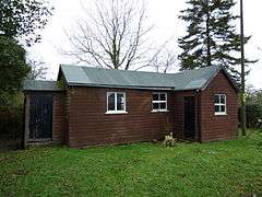 Monkwood Mission Hall | |
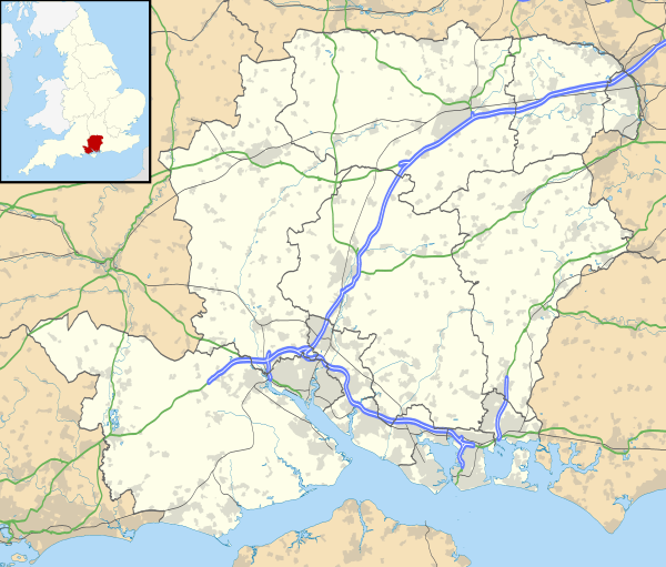 Monkwood Location within Hampshire | |
| OS grid reference | SU667309 |
| Civil parish | |
| District | |
| Shire county | |
| Region | |
| Country | England |
| Sovereign state | United Kingdom |
| Post town | Alresford |
| Postcode district | SO24 |
| Police | Hampshire |
| Fire | Hampshire |
| Ambulance | South Central |
| UK Parliament | |
It is 6.8 miles (11.2 km) northwest of Petersfield, just off the A32 road.
The nearest national railway station is 6.5 miles (10.4 km) to the northeast, at Alton. The station at Petersfield is a similar distance to the Southeast.
The restored Ropley station on the Watercress Line, is 2.5 miles (4.1 km) to the west. There is not a timetabled service, but runs regular events.
External links
![]()

This article is issued from Wikipedia. The text is licensed under Creative Commons - Attribution - Sharealike. Additional terms may apply for the media files.