Hattingley
Hattingley is a small hamlet in the East Hampshire district of Hampshire, England.
| Hattingley | |
|---|---|
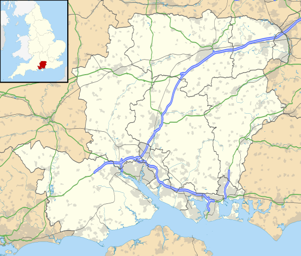 Hattingley Location within Hampshire | |
| OS grid reference | SU652351 |
| Civil parish |
|
| District | |
| Shire county | |
| Region | |
| Country | England |
| Sovereign state | United Kingdom |
| Police | Hampshire |
| Fire | Hampshire |
| Ambulance | South Central |
| UK Parliament | |
History
It was once in the large civil parish of neighbouring Bentworth, however it is now situated in Medstead.
The nearest railway station is the restored Medstead & Four Marks station on the Watercress Line, trains from which connect with the nearest national rail station 4.6 miles (7.4 km) to the northeast, at Alton.

This article is issued from Wikipedia. The text is licensed under Creative Commons - Attribution - Sharealike. Additional terms may apply for the media files.