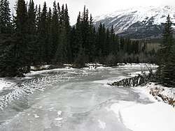
Miette River
The Miette River (/ˈmaɪ.ɛt/ or /maɪˈɛt/) is a short river in Jasper National Park, Alberta, Canada. It flows south-southwest through the Rocky Mountains before draining into the Athabasca River.
| Miette River | |
|---|---|
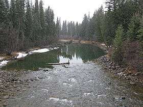 The Miette River before its confluence with the Athabasca River | |
| Location | |
| Country | Canada |
| Province | Alberta |
| Physical characteristics | |
| Source | |
| ⁃ location | Miette Pass |
| ⁃ coordinates | 52°57′18″N 118°35′02″W |
| ⁃ elevation | 1,643 m (5,390 ft) |
| Mouth | |
⁃ location | Athabasca River |
⁃ coordinates | 52°51′55″N 118°04′12″W |
⁃ elevation | 1,321 m (4,334 ft) |
The Miette River before its confluence with the Athabasca River
The Miette forms at the base of Mount Moren, with meltwater from Mount Bridgeland, Salient Mountain, Mount McCord, and Mount Beaupre contributing to the initial flow.
The Miette River, as well as various other geological features in Jasper National Park, are named after the Cree language word for bighorn sheep.[1]
The Miette River Trail runs along the Miette River. It goes for approximately 43.5 kilometres. The trail follows an abandoned railway roadbed for some of its distance. One of the landmarks on the trail is the Rink Cabin.[2]
Tributaries
- Rink Brook
- Clairvaux Creek
- Minaga Creek
- Muhigan Creek
See also
- List of Alberta rivers
References
- Karamitsanis, Aphrodite (1991). Place Names of Alberta, Volume 1. Calgary: University of Calgary Press, pg. 164-165
- Patton, Brian. Canadian Rockies Trail Guide Google Books, 2011. Retrieved 5 March 2019.
| Rivers | 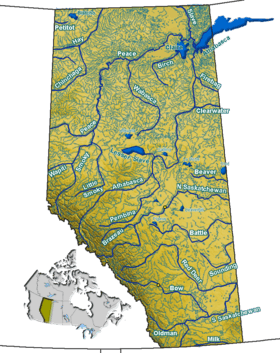 Rivers and lakes in Alberta | |
|---|---|---|
| Waterfalls | ||
| Lakes | ||
| Reservoirs | ||
| Glaciers | ||
| Other | ||
This article is issued from Wikipedia. The text is licensed under Creative Commons - Attribution - Sharealike. Additional terms may apply for the media files.