Maplewood, Wisconsin
Maplewood is an unincorporated community in Door County, in the town of Forestville, Wisconsin, United States. The nearest city to Maplewood is Sturgeon Bay. Maplewood is located along Wisconsin Highway 42 approximately 3 miles (5 km) south of its junction with Wisconsin Highway 57.[2] A small county park in the center of Maplewood provides an eating area and restrooms for users of the Ahnapee State Trail.[3]
Maplewood, Wisconsin | |
|---|---|
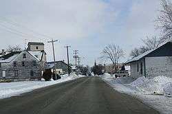 Looking east in Maplewood | |
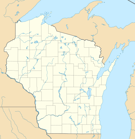 Maplewood Location within the state of Wisconsin | |
| Coordinates: 44°44′51″N 87°28′45″W | |
| Country | |
| State | |
| County | Door |
| Town | Forestville |
| Elevation | 214 m (702 ft) |
| Time zone | UTC-6 (Central (CST)) |
| • Summer (DST) | UTC-5 (CDT) |
| ZIP code | 54226 |
| Area code(s) | 920 |
| GNIS feature ID | 1569010[1] |
Images
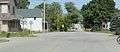 Looking east the main intersection in Maplewood
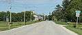 Looking east at the sign for Maplewood
References
- U.S. Geological Survey Geographic Names Information System: Maplewood, Wisconsin
- 2001-2002 Official State Highway Map (Wisconsin)
- Interactive map showing how the trail goes through Maplewood. While the map is for the Ice Age Trail, Maplewood is one of the areas where the trails coincide.
Municipalities and communities of Door County, Wisconsin, United States | ||
|---|---|---|
| City |  | |
| Villages | ||
| Towns | ||
| CDPs | ||
| Unincorporated communities | ||
| Footnotes | ‡This populated place also has portions in an adjacent county or counties | |
This article is issued from Wikipedia. The text is licensed under Creative Commons - Attribution - Sharealike. Additional terms may apply for the media files.