Manthorpe, Bourne
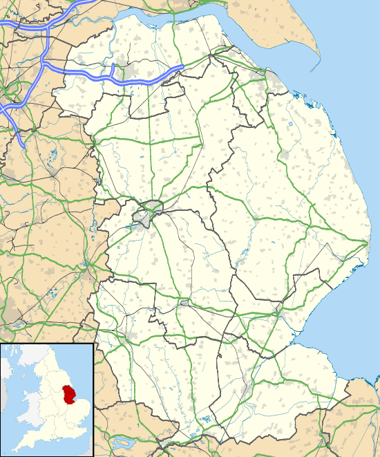
Manthorpe is a small village in the South Kesteven district of Lincolnshire, England. It lies 0.5 miles (0.8 km) east from the A6121, 3 miles (5 km) south-west from Bourne and 6 miles (10 km) north-east from Stamford.
| Manthorpe | |
|---|---|
 Manthorpe Location within Lincolnshire | |
| OS grid reference | TF070160 |
| • London | 85 mi (137 km) S |
| District | |
| Shire county | |
| Region | |
| Country | England |
| Sovereign state | United Kingdom |
| Post town | Bourne |
| Postcode district | NG31 |
| Police | Lincolnshire |
| Fire | Lincolnshire |
| Ambulance | East Midlands |
| UK Parliament | |
The village is part of the Toft with Lound and Manthorpe civil parish. At the western side of the village runs the East Glen River.
Manthorpe
At Bowthorpe Park Farm is the Bowthorpe Oak, with the largest girth in the UK, a circumference of 40 feet (12.2 m).
External links

- "The Bowthorpe Oak", Homepages.which.net
England Portal | |
| Unitary authorities | |
| Boroughs or districts | |
| Major settlements |
|
| Topics | |
This article is issued from Wikipedia. The text is licensed under Creative Commons - Attribution - Sharealike. Additional terms may apply for the media files.