Makounta
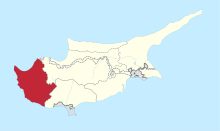
Makounta (Greek: Μακούντα)[2] is a village in the Paphos District of Cyprus, located 2 km south of Argaka. Overlooking the bay of Polis Chrysochous, Makounda is adjacent to Argaka (2 km southwest), and nearby there is also a motocross track.[3] Makounta is located 87 m above sea level.[4][5]
Makounta Μακούντα Magunda/Yakacık | |
|---|---|
 Makounta Location in Cyprus | |
| Coordinates: 35°3′2″N 32°29′9″E | |
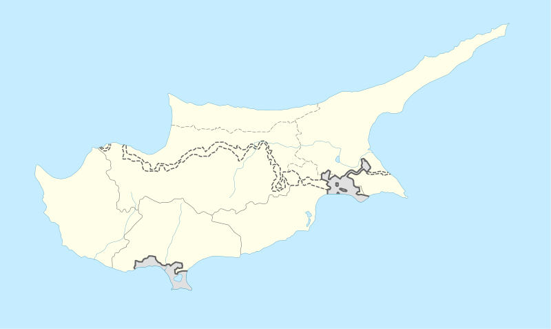
| Country | |
| District | Paphos District |
| Elevation | 87 m (285 ft) |
| Population (2001)[1] | |
| • Total | 66 |
| Time zone | UTC+2 (EET) |
| • Summer (DST) | UTC+3 (EEST) |
| Postal code | 6362 |
Naming
Makounta is a village located four kilometers inland from Chrysochou bay and three kilometers north of Pelathousa. Goodwin claims that Makounta means “mushrooms” in ancient Greek. Turkish Cypriots adopted the alternative name Yakacık in 1958. Yaka means “collar,” “bank,” “edge” or “shore.”[6]
References
- Census 2001
- Lloyd, Dominic. "Abandoned Villages - Makounta". Paphos Life. Retrieved 2019-07-17.
- "Makounda - Cyprus". Cyprus. Retrieved 2019-07-17.
- "GeoNames.org". www.geonames.org. Retrieved 2019-07-17.
- "Forecast for Makoúnta". yr.no. Retrieved 2019-07-17.
- "MAKOUNTA". www.prio-cyprus-displacement.net. Retrieved 2019-07-17.
This article is issued from Wikipedia. The text is licensed under Creative Commons - Attribution - Sharealike. Additional terms may apply for the media files.