Maida Vale, Western Australia
Maida Vale is a suburb of Perth, Western Australia, located within the City of Kalamunda. Kalamunda Road runs through the suburb. Its first European settler was William Henry Mead who arrived in 1873, building a home in the Ridge Hill area and establishing an orchard named Orangedale. It was named in 1910 after a property name of another settler, WH McCormack. The name is believed to be derived from the eponymous area of west London.[2]
| Maida Vale Perth, Western Australia | |||||||||||||||
|---|---|---|---|---|---|---|---|---|---|---|---|---|---|---|---|
 Maida Vale | |||||||||||||||
| Coordinates | 31.953°S 116.023°E | ||||||||||||||
| Population | 4,499 (2016 census)[1] | ||||||||||||||
| Postcode(s) | 6057 | ||||||||||||||
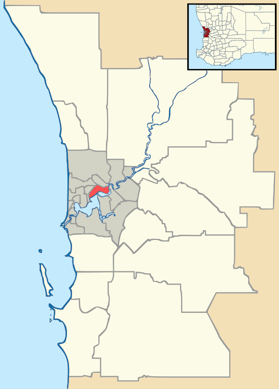
| Location | 22 km (14 mi) from Perth, Western Australia | ||||||||||||||
| LGA(s) | City of Kalamunda | ||||||||||||||
| State electorate(s) | Forrestfield | ||||||||||||||
| Federal Division(s) | Hasluck | ||||||||||||||
| |||||||||||||||
Within the suburb there is a primary school (Maida Vale Primary School), a golf course, numerous parks/ovals (including a Seventh Day Adventist church ground and caravan park), small shops including a BP Petrol station, and a heated swimming pool. The suburb retains areas of natural bushland and is not completely built-up with housing, although there are plans to increase housing with expansion on the Crystal Brook housing estate. Maida Vale is home to a rare flower named the Maida Vale Bell.
References
- Australian Bureau of Statistics (27 June 2017). "Maida Vale (State Suburb)". 2016 Census QuickStats. Retrieved 14 October 2019.

- Western Australian Land Information Authority. "History of metropolitan suburb names – M". Retrieved 14 October 2019.