Bushmead, Western Australia
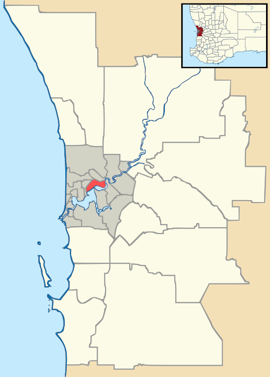
Bushmead (postcode: 6055) is a suburb of Perth in the City of Swan located 16 kilometers from Perth's central business district.[3]
| Bushmead Perth, Western Australia | |||||||||||||||
|---|---|---|---|---|---|---|---|---|---|---|---|---|---|---|---|
 Bushmead | |||||||||||||||
| Coordinates | 31.925°S 116.025°E[1] | ||||||||||||||
| Established | 2017 | ||||||||||||||
| Postcode(s) | 6055[2] | ||||||||||||||
| LGA(s) | City of Swan | ||||||||||||||
| State electorate(s) | Midland | ||||||||||||||
| Federal Division(s) | Hasluck | ||||||||||||||
| |||||||||||||||
The origin of the suburb name Bushmead is from mapping of the area in 1893 with title deeds showing Bushmead as part of the Woodbridge estate. The land had previously been owned by the Department of Defence after it was acquired in 1915[4][5]
It was an important location on the Upper Darling Range Railway being south of the end of the Midland Railway yards complex and associated sidings and infrastructure, and the beginning of the climb on the Kalamunda Zig Zag.
A plaque was unveiled at an opening ceremony for the suburb Bushmead in June, 2017 by the Member for Midland Michelle Roberts MLA and Cedar Woods developer Chairman Bill Hames.[6]
Bushmead has been certified under all six areas of the Urban Development Institute of Australia's (UDIA) EnviroDevelopment program. Parts of Bushmead are to be preserved as a conservation site, ensuring the natural environment in the area is protected and enhanced.[7]
References
- "Bushmead, WA - Postcode".
- "Bushmead Postcode".
- "Perth's newest suburb turns an old rifle range into a 'treechange' community". 21 June 2017.
- "Perth and surrounds suburb names".
- http://www.defence.gov.au/id/_Master/docs/NCRP/WA/0682BushmeadRifleRangeWA.pdf
- "Perth's newest suburb turns an old rifle range into a 'treechange' community". 21 June 2017.
- https://www.swan.wa.gov.au/News-Media/Focus-stories/2016/Perth’s-newest-suburb-officially-opens