Mường Thanh
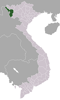
Mường Thanh is a ward (phường) of Điện Biên Phủ in Điện Biên Province in northwestern Vietnam. It was a township of Điện Biên District before it was incorporated into Điện Biên Phủ city.
Mường Thanh | |
|---|---|
| Country | |
| Province | Điện Biên |
| District | Điện Biên Phủ |
| Area | |
| • Total | 1.7231 km2 (0.6653 sq mi) |
| Population (2005) | |
| • Total | 11,740 |
| • Density | 6,813/km2 (17,650/sq mi) |
| Time zone | UTC+07:00 (Indochina Time) |
Mường Thanh is named after Muang Theng or Müang Thaeng, which was, according to the Khun Borom creation myth, the original home of the Tai peoples (Lao, Thai, Shan, upland Tai peoples).
Until the 1950s, Mường Thanh was the centre of an autonomous chiefdom of the Tai Dam ("Black Tai"), one of the 12 cantons of the confederation Sip Song Chau Tai.[1]
References
- David K. Wyatt (2004). Thailand: A Short History (2nd ed.). Silkworm Books. p. 6. ISBN 974-9575-44-X.
Capital: Điện Biên Phủ | ||
| Điện Biên Phủ |
|  |
| Mường Lay | ||
| Điện Biên |
| |
| Điện Biên Đông | ||
| Mường Ảng |
| |
| Mường Chà |
| |
| Mường Nhé | ||
| Nậm Pồ | ||
| Tủa Chùa | ||
| Tuần Giáo |
| |
This article is issued from Wikipedia. The text is licensed under Creative Commons - Attribution - Sharealike. Additional terms may apply for the media files.