Mũi Cà Mau National Park
Mũi Cà Mau National Park (Vietnamese: Vườn quốc gia Mũi Cà Mau) or National Park of Cape Cà Mau is a national park in southern Vietnam. It is located in Đất Mũi Commune, Ngọc Hiển District, in Cà Mau, the southernmost of Vietnam's provinces.
| Mũi Cà Mau National Park | |
|---|---|
IUCN category II (national park) | |
 Mũi Cà Mau National Park | |
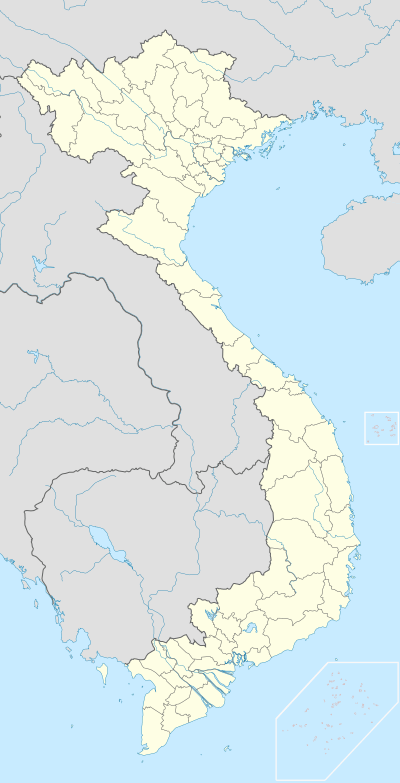 | |
| Location | South Vietnam |
| Nearest city | Cà Mau |
| Coordinates | 8°40′30″N 104°47′30″E |
| Area | 418.62 km² |
| Established | 2003 |
| Governing body | People's Committee of Cà Mau Province |
| Official name | Mui Ca Mau National Park |
| Designated | 12 December 2013 |
| Reference no. | 2088[1] |
The park was established by Decision 142/2003/QĐ-TTg of the Prime Minister of Vietnam on July 14, 2003 on the basis of the natural preservation zone of Đất Mũi, a zone founded by Decision 194/CT, dated August 9, 1986.
Location
This park is located on the southernmost tip of Vietnam's territory.
Coordinates: from N 8°32' to 8°49' and E 104°40' to 104°55'.
Total area: 41,862 ha, including:
- Inland area: 15,262 ha.
- Coast area: 26,600 ha.
See also
This article is issued from Wikipedia. The text is licensed under Creative Commons - Attribution - Sharealike. Additional terms may apply for the media files.