Lysterfield South, Victoria
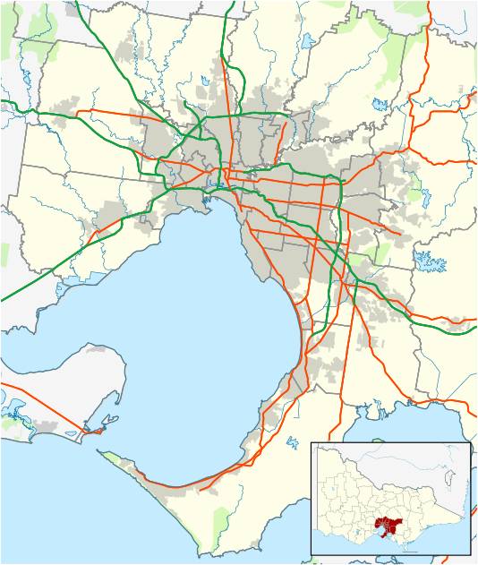
Lysterfield South is an outer suburb in Melbourne, Victoria, Australia, 30 km south-east of Melbourne's central business district. Its local government area is the City of Casey. At the 2016 Census, Lysterfield South had a population of 957.[1]
| Lysterfield South Melbourne, Victoria | |||||||||||||||
|---|---|---|---|---|---|---|---|---|---|---|---|---|---|---|---|
 Lysterfield South | |||||||||||||||
| Coordinates | 37.949°S 145.260°E | ||||||||||||||
| Population | 957 (2016 census)[1] | ||||||||||||||
| • Density | 208.0/km2 (539/sq mi) | ||||||||||||||
| Postcode(s) | 3156 | ||||||||||||||
| Area | 4.6 km2 (1.8 sq mi) | ||||||||||||||
| Location | |||||||||||||||
| LGA(s) | City of Casey | ||||||||||||||
| State electorate(s) | Rowville | ||||||||||||||
| Federal Division(s) | Bruce | ||||||||||||||
| |||||||||||||||
It is notable for containing Churchill National Park which can be entered via Army Road, from Churchill Park Drive.
References
- Australian Bureau of Statistics (27 June 2017). "Lysterfield South (State Suburb)". 2016 Census QuickStats. Retrieved 17 November 2017.

This article is issued from Wikipedia. The text is licensed under Creative Commons - Attribution - Sharealike. Additional terms may apply for the media files.