Little Wittenham
Little Wittenham is a village and civil parish on the south bank of the River Thames, northeast of Didcot in South Oxfordshire. In 1974 it was transferred from Berkshire to the county of Oxfordshire and from Wallingford Rural District to the district of South Oxfordshire.
| Little Wittenham | |
|---|---|
 St. Peter's parish church | |
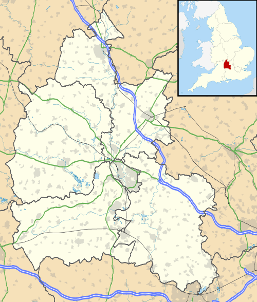 Little Wittenham Location within Oxfordshire | |
| Population | 87 (2001 census)[1] |
| OS grid reference | SU564932 |
| Civil parish |
|
| District | |
| Shire county | |
| Region | |
| Country | England |
| Sovereign state | United Kingdom |
| Post town | Abingdon |
| Postcode district | OX14 |
| Dialling code | 01865 |
| Police | Thames Valley |
| Fire | Oxfordshire |
| Ambulance | South Central |
| UK Parliament | |
Parish church
The Church of England parish church of Saint Peter has a 14th-century west bell tower,[2] of which the lower stages are Decorated Gothic and the upper stages are Perpendicular Gothic.[3] In 1863 the nave and chancel in the Early English Gothic were rebuilt to designs by the Gothic Revival architect Charles Buckeridge.

St. Peter's has a number of monuments to members of the Dunche family who lived in Little Wittennham. The most notable is a large monument to Sir William Dunche (died 1611) and his wife.[3] The monument is missing a canopy and supports, but it retains alabaster effigies of Sir William and Lady Dunche,[3] a pair of obelisks[3] that would have surmounted the canopy and a pair of tablets commemorating the couple's children.
Several Dunches were MPs for Wallingford. They include Edmund Dunch (1657–1719), a Whig who was Queen Anne's Master of the Household and a member of the Kit-Kat Club.
Sites of interest
Little Wittenham SSSI is a Site of Special Scientific Interest and a Special Area of Conservation.[4]
Day's Lock is north-east of the village. On the opposite bank to the north-east, a little distance from the river itself, is the town of Dorchester-on-Thames which can be reached on foot via Little Wittenham Bridge.
South of the village are the hills of Wittenham Clumps and to the south-east is Little Wittenham Wood bordering on the river. From Round Hill, one of the Clumps, there is a view of the village to the north.
See also
- Little Wittenham Nature Reserve
- Long Wittenham
- Sylva Foundation
References
- "Area selected: South Oxfordshire (Non-Metropolitan District)". Neighbourhood Statistics: Full Dataset View. Office for National Statistics. Retrieved 30 March 2010.
- Page & Ditchfield 1924, pp. 380–384.
- Pevsner 1966, p. 169
- "Designated Sites View: Little Wittenham". Sites of Special Scientific Interest. Natural England. Retrieved 6 April 2020.
Sources
- Page, W.H.; Ditchfield, P.H., eds. (1924). A History of the County of Berkshire, Volume 4. Victoria County History. pp. 380–384.CS1 maint: ref=harv (link)
- Pevsner, Nikolaus (1966). Berkshire. The Buildings of England. Harmondsworth: Penguin Books. pp. 168–169.CS1 maint: ref=harv (link)
External links
| Wikimedia Commons has media related to Little Wittenham. |
- Berkshire History: Little Wittenham
- Northmoor Trust
- Project Timescape
- Sylva Foundation
- St Peter's Church
