List of Ramsar sites in the United States
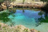
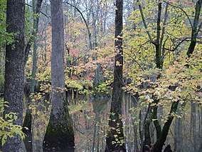
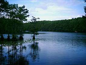
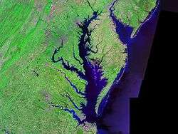
This list of Ramsar sites in the United States are those wetlands that are considered to be of international importance under the Ramsar Convention. The United States as of 2020, has 40 sites designated as "Wetlands of International Importance" with a surface area of 1,866,851 hectares (7,207.95 sq mi; 18,668.51 km2).[1][2][3] For a full list of all Ramsar sites worldwide, see List of Ramsar wetlands of international importance.
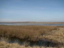
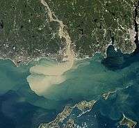
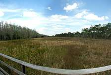
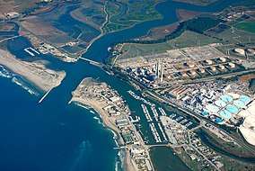
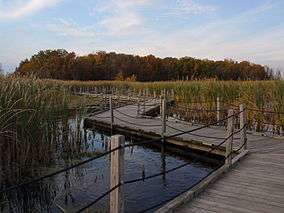
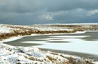
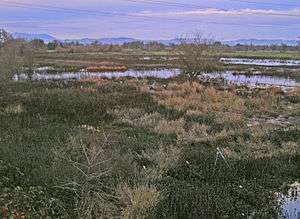
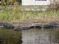
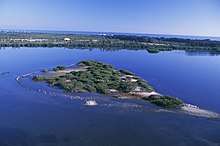
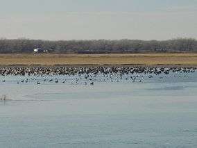
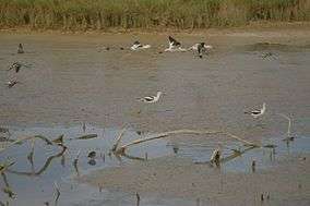
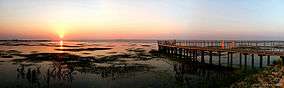
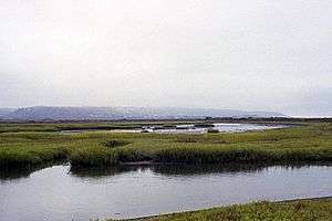
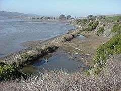
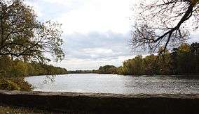
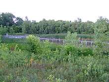
List of Ramsar sites


.jpg)


References
- "United States". Ramsar.org. Retrieved 13 February 2020.
- "The Annotated Ramsar List: United States of America". Ramsar.org. Archived from the original (PDF) on 4 September 2013. Retrieved 13 February 2020.
- "United States of America". Ramsar.org. Retrieved 4 October 2016.
- "Door Peninsula Coastal Wetlands | Ramsar Sites Information Service". rsis.ramsar.org. Retrieved 2016-10-04.
External links

This article is issued from Wikipedia. The text is licensed under Creative Commons - Attribution - Sharealike. Additional terms may apply for the media files.