Lapuente
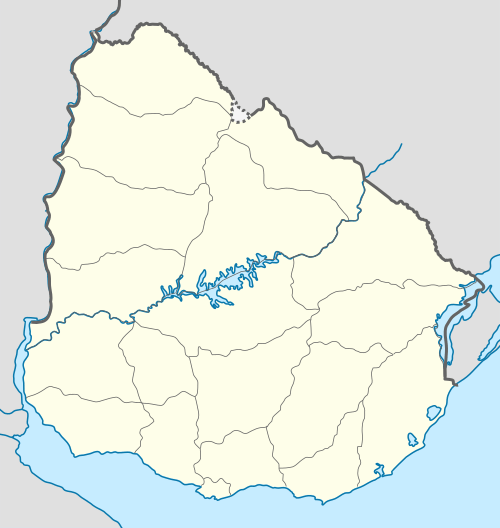
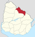
Lapuente is a village, or populated centre, in the Rivera Department of northeastern Uruguay.
Lapuente | |
|---|---|
Village | |
 Lapuente Location in Uruguay | |
| Coordinates: 31°28′0″S 54°58′0″W | |
| Country | |
| Department | Rivera Department |
| Population (2011) | |
| • Total | 321 |
| Time zone | UTC -3 |
| Postal code | 40004 |
| Dial plan | +598 465 (+5 digits) |
Location and geography
The village is located on Route 29, about 19 kilometres (12 mi) northeast of its junction with Route 27, which is about 48 kilometres (30 mi) northwest of Vichadero and 88 kilometres (55 mi) southeast of the department capital Rivera. The stream Arroyo Yaguarí flows by the west limits of the village and the border with Brazil is only 12 kilometres (7.5 mi) away.
Population
In 2011 Lapuente had a population of 321.[1]
| Year | Population |
|---|---|
| 1963 | 412 |
| 1975 | 292 |
| 1985 | 268 |
| 1996 | 284 |
| 2004 | 315 |
| 2011 | 321 |
Source: Instituto Nacional de Estadística de Uruguay[2]
References
- "Censos 2011 Rivera (needs flash plugin)". INE. 2012. Retrieved 25 August 2012.
- "1963–1996 Statistics / L". Instituto Nacional de Estadística de Uruguay. 2004. Archived from the original (DOC) on 29 November 2011. Retrieved 3 July 2011.
This article is issued from Wikipedia. The text is licensed under Creative Commons - Attribution - Sharealike. Additional terms may apply for the media files.