Lake Matahina
Lake Matahina is a reservoir in the Bay of Plenty region of New Zealand, located immediately south of the settlement of Te Mahoe and 50 km east of Rotorua.[2] The lake was formed by the construction of the 86 m tall Matahina dam on the Rangitaiki River, which was completed in 1967.[1]
| Lake Matahina | |
|---|---|
 Lakeside view of Lake Matahina | |
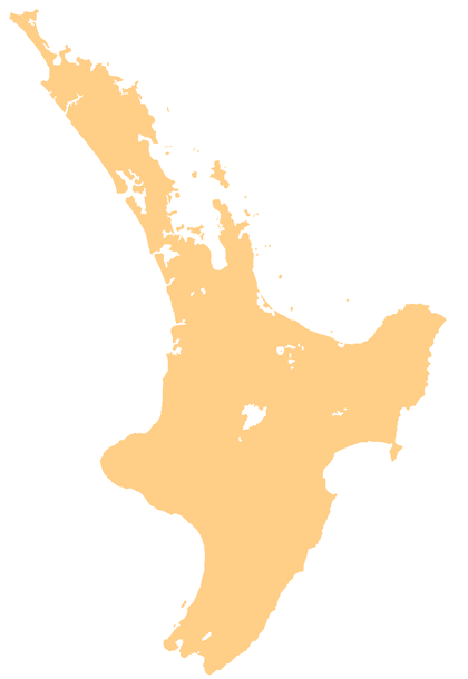 Lake Matahina Location of Lake Matahina in the North Island | |
| Location | Bay of Plenty, North Island, New Zealand |
| Coordinates | 38°7′5″S 176°49′0″E |
| Type | reservoir |
| River sources | Rangitaiki River |
| First flooded | 1967[1] |
| Surface area | 2.5 km2 (0.97 sq mi)[2] |
| Max. depth | 50 m (160 ft)[2] |
| Water volume | 55,000,000 m3 (1.9×10⁹ cu ft)[3] |
References
- Gillon, M D (1–5 June 1988). The Observed Seismic Behavior of the Matahina Dam. 2nd International Conference on Case Histories in Geotechnical Engineering. St Louis, MO. pp. 841–848.
- Phillips, Christopher J; Nelson, Campbell S (1981). "Sedimentation in an artificial lake‐Lake Matahina, Bay of Plenty". New Zealand Journal of Marine and Freshwater Research. 15 (4): 459–473. doi:10.1080/00288330.1981.9515938. hdl:10289/4737.
- "Matahina Dam Fact File" (Press release). Trustpower. 13 April 2020. Retrieved 14 May 2020.
This article is issued from Wikipedia. The text is licensed under Creative Commons - Attribution - Sharealike. Additional terms may apply for the media files.