Kweda, Western Australia
Kweda is a small town located in the Wheatbelt region of Western Australia, about 45 kilometres (28 mi) east of the town of Brookton.
| Kweda Western Australia | |
|---|---|
 Kweda | |
| Coordinates | 32.38°S 117.42°E |
| Established | 1915 |
| Postcode(s) | 6306 |
| Elevation | 250 m (820 ft) |
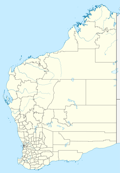
| Location |
|
| LGA(s) | Shire of Brookton |
| State electorate(s) | Wagin |
| Federal Division(s) | O'Connor |
History
The government was planning to build a railway line between Brookton and Kunjin (near Corrigin), in 1913, and one of the proposed stations was a "Quandadine Siding", located near Quandadine Pool in the Avon River. Marshall Fox, the district surveyor, proposed creating a townsite here in 1914, and land was resumed for this purpose later that year.
By the time the railway line was opened in 1915 the name of the siding had been changed to Kweda, and this was the name applied when the townsite was gazetted in 1918. This name may be derived from "Queeda", a Noongar name for the Casuarina tree.[1]
References
- Western Australian Land Information Authority. "History of country town names – K". Retrieved 3 May 2007.
This article is issued from Wikipedia. The text is licensed under Creative Commons - Attribution - Sharealike. Additional terms may apply for the media files.