Bailup, Western Australia
Bailup is a Western Australian locality and rural residential estate located 62 kilometres (39 mi) north-east of the state capital, Perth, along Toodyay Road. The population recorded at the 2016 census was 40.[1] The area is split between the Shire of Toodyay and Shire of Mundaring, the latter of which contains most of the land area.
| Bailup Western Australia | |
|---|---|
 Bailup | |
| Coordinates | 31.740°S 116.31°E |
| Population | 40 (2016 census)[1] |
| Postcode(s) | 6082 |
| Location | |
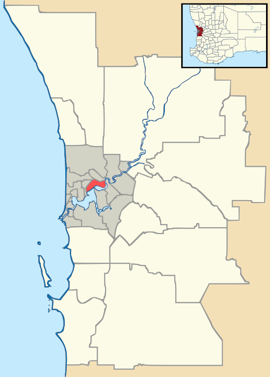
| LGA(s) | |
| State electorate(s) | |
| Federal Division(s) | Pearce |
History
Bailup was named after a nearby creek and a police station and inn established on Toodyay Road in the 1840s. The name is of Noongar origin but its meaning is unclear.[2] The name was approved in early 1999 by the Department of Land Administration.[3]
Description
Most of the locality is covered in open Jarrah, marri and wandoo woodland, with some areas of dense understorey vegetation. Nearby Morangup Hill (31°39′31″S 116°18′55″E), the main feature of a reserve managed by the Department of Environment and Conservation (DEC) on the edge of the Avon Valley National Park, is a granite peak providing extensive views over the surrounding area and is home to several species of birds including the square-tailed kite.[4] The Red Swamp Brook, which runs through Bailup, feeds a significant wetland area.
Transport
The main road route through the area is Toodyay Road (State Route 50). Bailup Road links Bailup to Wooroloo further south.[5] No public transport is available.
References
- Australian Bureau of Statistics (27 June 2017). "Bailup". 2016 Census QuickStats. Retrieved 22 April 2019.

- Western Australian Land Information Authority. "History of metropolitan suburb names – B". Retrieved 9 June 2007.
- Department of Land Administration (January–March 1999). "Geographic name approvals in Western Australia". 15 (1). ISSN 0817-265X. Cite journal requires
|journal=(help) - Birds Australia WA (Inc) (November 2005). "Birds Around Northam (Number 17A)" (PDF). Archived from the original (PDF) on 11 October 2006. Retrieved 13 November 2006.
- Department of Land Information. StreetSmart Perth Street Directory (54th ed.). West Australian Newspapers Ltd. pp. Maps S4-S5 (overview). ISBN 978-0-909439-67-5.
Further reading
- Elliot, Ian (1983). Mundaring - A History of the Shire (2nd ed.). Mundaring: Mundaring Shire. ISBN 0-9592776-0-9.
- Spillman, Ken (2003). Life was meant to be here: community and local government in the Shire of Mundaring. Mundaring: Mundaring Shire. ISBN 0-9592776-3-3.