Kulamavu Dam
Kulamavu Dam is a gravity/masonry dam on the Periyar river. It is one of the three dams associated with the Idukki hydro electric power project in the Indian state of Kerala.[1] The dam is situated on the Thodupuzha - Puliyanmala state highway (SH-33), about 23 km (14 mi) from Idukki arch dam, 22 km (14 mi) from Cheruthoni dam and 38 km (24 mi) from Thodupuzha.
| Kulamavu Dam | |
|---|---|
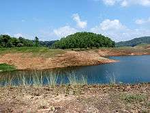 Kulamavu dam reservoir | |
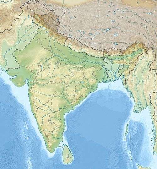 Location in Kerala  Kulamavu Dam (Kerala) 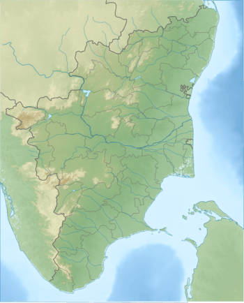 Kulamavu Dam (Tamil Nadu) | |
| Country | India |
| Location | Kulamavu, Idukki, Kerala |
| Coordinates | 9°48′10.59″N 76°53′46″E |
| Purpose | Hydroelectric |
| Status | Operational |
| Construction began | 30 April 1969 |
| Opening date | February 1977 |
| Owner(s) | Kerala State Electricity Board |
| Dam and spillways | |
| Type of dam | Gravity, masonry |
| Impounds | Periyar River |
| Height (foundation) | 100 m (328 ft) |
| Length | 385 m (1,263 ft) |
| Width (crest) | 220 ft (67 m) |
| Dam volume | 620,300 m3 (811,300 cu yd) |
| Spillway type | UG |
| Spillway capacity | 1,600 m3/s (57,000 cu ft/s) |
| Reservoir | |
| Catchment area | 38 km2 |
| Normal elevation | 2,500 ft (760 m) |
| Turbines | 6 x 130 MW Pelton-type |
| Installed capacity | 780 MW |
The dams of Idukki, Cheruthoni and Kulamavu extend to an area of 33 km². The construction of these three dams formed a 60 km² artificial lake. The water stored in it was used for the production of electricity at the power house in Moolamattom.
See also
- Cheruthoni Dam
- Idukki Dam
- List of reservoirs and dams in India
- Moolamattom Power Station
References
- "Dam". Archived from the original on 19 August 2015. Retrieved 6 May 2017.
This article is issued from Wikipedia. The text is licensed under Creative Commons - Attribution - Sharealike. Additional terms may apply for the media files.