Košecké Podhradie
Košecké Podhradie (Hungarian: Kasaváralja) is a village and municipality in Ilava District in the Trenčín Region of north-western Slovakia.
Košecké Podhradie | |
|---|---|
Municipality | |
 Košecké Podhradie Location of Košecké Podhradie in the Trenčín Region 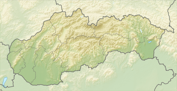 Košecké Podhradie Košecké Podhradie (Slovakia) | |
| Coordinates: 48°58′24″N 18°18′25″E | |
| Country | Slovakia |
| Region | Trenčín |
| District | Ilava |
| First mentioned | 1312 |
| Area | |
| • Total | 36.915 km2 (14.253 sq mi) |
| Elevation | 330 m (1,080 ft) |
| Population | |
| • Total | 1,071 |
| • Density | 29/km2 (75/sq mi) |
| Postal code | 018 31 |
| Area code(s) | 421-42 |
| Car plate | IL |
| Website | www.koseckepodhradie.ocu.sk |
History
In historical records the village was first mentioned in 1312.
Geography
The municipality lies at an altitude of 330 metres and covers an area of 36.915 km². It has a population of about 1071 people.
External links
![]()
- Official page
- https://web.archive.org/web/20090412234949/http://www.statistics.sk/mosmis/eng/run.html
- Podhradska dolina (Valey) and Photo Gallery surroundings of the village Košecké Podhradie
Municipalities of Ilava District | ||
|---|---|---|
| Authority control |
|
|---|
This article is issued from Wikipedia. The text is licensed under Creative Commons - Attribution - Sharealike. Additional terms may apply for the media files.