Červený Kameň
Červený Kameň (Hungarian: Vöröskő) is a village and municipality in Ilava District in the Trenčín Region of north-western Slovakia.
Červený Kameň | |
|---|---|
Municipality | |
 | |
 Červený Kameň Location of Červený Kameň in the Trenčín Region 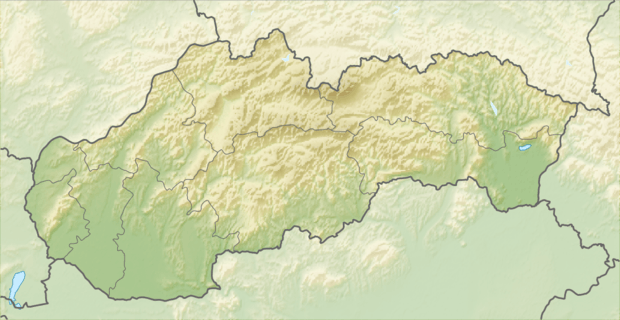 Červený Kameň Červený Kameň (Slovakia) | |
| Coordinates: 49°05′N 18°11′E | |
| Country | Slovakia |
| Region | Trenčín |
| District | Ilava |
| First mentioned | 1439 |
| Area | |
| • Total | 32.584 km2 (12.581 sq mi) |
| Elevation | 361 m (1,184 ft) |
| Population | |
| • Total | 757 |
| • Density | 23/km2 (60/sq mi) |
| Postal code | 018 56 |
| Area code(s) | 421-42 |
| Car plate | IL |
| Website | www.cervenykamen.sk |
Etymology
Both Slovak and Hungarian names mean "red stone". The first written mention about the village is "possesio seu willa Wewreskew" (1439). Cherweny Kamen (1484) later also Rothenstein (1808).[1]
History
In historical records the village was first mentioned in 1439.
Geography
The municipality lies at an altitude of 361 metres and covers an area of 32.584 km². It has a population of about 757 people.
Genealogical resources
The records for genealogical research are available at the state archive "Statny Archiv in Bytca, Slovakia"
- Roman Catholic church records (births/marriages/deaths): 1671-1896 (parish A)
References
- "História". Červený kameň - oficiálna stránka obce. Obecný úrad Červený Kameň. Retrieved 2018-02-02.
External links
![]()
- Official page
- http://www.statistics.sk/mosmis/eng/run.html
- Surnames of living people in Cerveny Kamen
Municipalities of Ilava District | ||
|---|---|---|
| Authority control |
|
|---|
This article is issued from Wikipedia. The text is licensed under Creative Commons - Attribution - Sharealike. Additional terms may apply for the media files.