Kirby, Montana
Kirby, Montana was an unincorporated community in Big Horn County. The community location is at an elevation of 3,878 feet (1,182 m).[1] The site is on the west bank of Rosebud Creek.[3] Rosebud Battlefield State Park lies about twelve miles south of the community just west of Rosebud Creek.[4]
Kirby | |
|---|---|
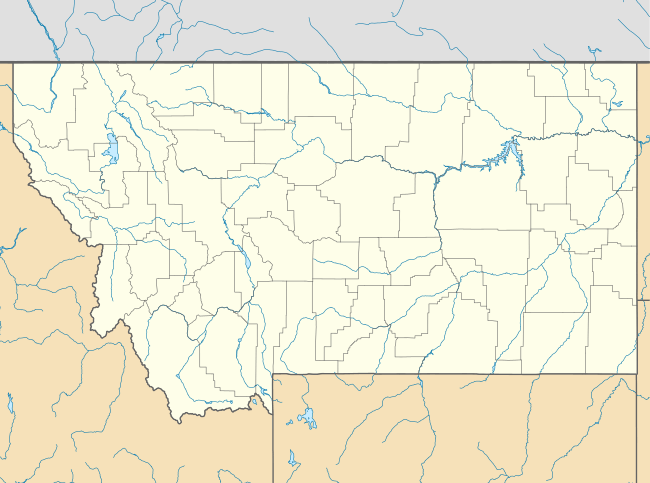 Kirby Location in Montana  Kirby Kirby (the United States) | |
| Coordinates: 45°19′57″N 106°58′54″W[1] | |
| Country | United States |
| State | Montana |
| County | Big Horn |
| Elevation | 3,878 ft (1,182 m) |
| Population (2010)[2] | |
| • Total | N/A |
| Time zone | UTC-7 (Mountain (MST)) |
| • Summer (DST) | UTC-6 (MDT) |
| ZIP code | 59042 |
| Area code(s) | 406 |
History
The town site of Kirby was at Montana Highway 314 and Cache Creek Road. It was directly east of the Crow Indian Reservation and south of the Northern Cheyenne Indian Reservation in the Rosebud Creek valley. A post office was operational from 1895 until 1970 with the ZIP Code of 59042.
Kirby is a ghost town with no more than a couple remaining buildings, including the former post office.
References
- U.S. Geological Survey Geographic Names Information System: Kirby, Montana
- "U.S. Census website". United States Census Bureau. Retrieved 2011-05-14.
- Kirby, Montana, 7,5 Minute Topographic Quadrangle, USGS, 1967 (1983 rev.)
- ROSEBUD BATTLEFIELD/WHERE THE GIRL SAVED HER BROTHER
Municipalities and communities of Big Horn County, Montana, United States | ||
|---|---|---|
| City | 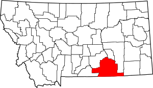 Big Horn County map | |
| Town | ||
| CDPs | ||
| Unincorporated communities | ||
| Indian reservations | ||
| Footnotes | ‡This populated place also has portions in an adjacent county or counties | |
This article is issued from Wikipedia. The text is licensed under Creative Commons - Attribution - Sharealike. Additional terms may apply for the media files.